Anthiyur night lights from space
Night Light of Anthiyur (Tamil Nadu) from space (India) Src. Average luminocity for 10x10km area is 24.4394% and for 50x50km: 18.7353%.
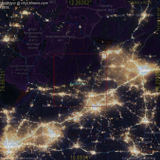
Analysis of Anthiyur night lights 2016
Square area 10x10 km:
 0%
0%90-99
0.87%80-89
2.38%70-79
2.81%60-69
2.6%50-59
3.46%40-49
11.47%30-39
11.9%20-29
8.01%10-19
21.86%0-9
34.63%Square area 50x50 km:
0.22%90-99
1.5%80-89
2.96%70-79
2.76%60-69
3.2%50-59
3.16%40-49
4.49%30-39
6.07%20-29
7.15%10-19
14.94%0-9
53.55%Clear (daylight) street map image can be seen on geolist.org.
Map coordinates:
12° 15' 46.9" North, 76° 53' 14.3" East
11° 34' 30.2" North, 77° 35' 25.5" East
10° 53' 7.4" North, 78° 17' 36.8" East
Some cities around Anthiyur sort by population:
• Erode
29.8 km =18.5 mi,  149°
149°
• Gobichettipalayam
21 km =13 mi,  230°
230°
• Mettur
32.9 km =20.4 mi,  44°
44°
• Idappadi
27.1 km =16.8 mi,  87°
87°
• Bhavāni
17.5 km =10.9 mi, 145°
• Perundurai
33.3 km =20.7 mi,  180°
180°
• Jalakandapuram
33.7 km =20.9 mi,  66°
66°
• Ammāpettai
17.3 km =10.7 mi, 73°
1278622 (p: 20,436)
Sources (retrieved 2019-11-25):
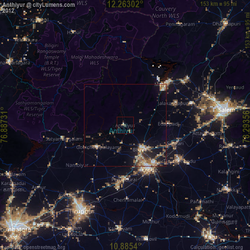
» Earth at Night: Flat Maps 2012, 2016