Jhālāwār night lights from space
Night Light of Jhālāwār (Rajasthan) from space (India) Src. Average luminocity for 10x10km area is 60.0159% and for 50x50km: 20.8601%.
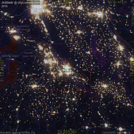

Analysis of Jhālāwār night lights 2016
Square area 10x10 km:
 9.33%
9.33%90-99
18.25%80-89
4.96%70-79
5.36%60-69
8.93%50-59
9.72%40-49
14.88%30-39
9.72%20-29
10.71%10-19
8.13%0-9
0%Square area 50x50 km:
1.65%90-99
3.53%80-89
1.58%70-79
2.26%60-69
2.12%50-59
3.44%40-49
5.04%30-39
5.02%20-29
7.66%10-19
11.67%0-9
56.03%Clear (daylight) street map image can be seen on geolist.org.
Map coordinates:
25° 14' 2.4" North, 75° 27' 42.7" East
24° 35' 46.8" North, 76° 9' 54" East
23° 57' 19.4" North, 76° 52' 5.2" East
Some cities around Jhālāwār sort by population:
• Rāmganj Mandi
23.1 km =14.4 mi,  283°
283°
• Jhālrapātan
6.1 km =3.8 mi,  172°
172°
• Suket
13.6 km =8.5 mi,  293°
293°
• Sunel
32.7 km =20.3 mi,  219°
219°
• Khānpur
27.8 km =17.3 mi,  57°
57°
• Chechat
34.2 km =21.3 mi,  303°
303°
• Udpura
24.5 km =15.2 mi,  308°
308°
• Bakāni
35.2 km =21.9 mi, 168°
1269027 (p: 51,884)
Sources (retrieved 2019-11-25):
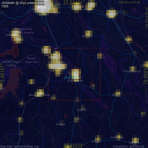
» NASA, Earths city lights 1995
» NASA city lights 2003
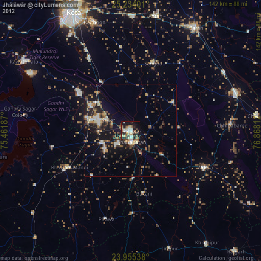
» Earth at Night: Flat Maps 2012, 2016