Kolasib night lights from space
Night Light of Kolasib (Mizoram) from space (India) Src. Average luminocity for 10x10km area is 3.786% and for 50x50km: 0.2644%.
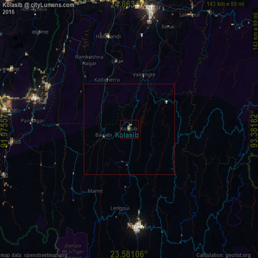
Analysis of Kolasib night lights 2016
Square area 10x10 km:
 0%
0%90-99
0%80-89
0.38%70-79
0.38%60-69
1.52%50-59
1.52%40-49
0.95%30-39
1.33%20-29
0%10-19
0.76%0-9
93.18%Square area 50x50 km:
0.02%90-99
0.02%80-89
0.02%70-79
0.02%60-69
0.09%50-59
0.09%40-49
0.07%30-39
0.09%20-29
0.03%10-19
0.06%0-9
99.5%Clear (daylight) street map image can be seen on geolist.org.
Map coordinates:
24° 51' 48.5" North, 91° 58' 32.1" East
24° 13' 26" North, 92° 40' 43.3" East
23° 34' 51.8" North, 93° 22' 54.6" East
Some cities around Kolasib sort by population:
• Aizawl
55.2 km =34.3 mi,  175°
175°
• Silchar
68.2 km =42.4 mi,  10°
10°
• Dharmanagar
54.3 km =33.7 mi,  287°
287°
• Hailākāndi
52.5 km =32.6 mi,  346°
346°
• Sāitlaw
29.9 km =18.6 mi,  200°
200°
• Lāla
37.3 km =23.2 mi, 350°
• Mamit
38.2 km =23.7 mi,  210°
210°
• Sairang
46.1 km =28.6 mi, 183°
1266258 (p: 25,000)
Sources (retrieved 2019-11-25):
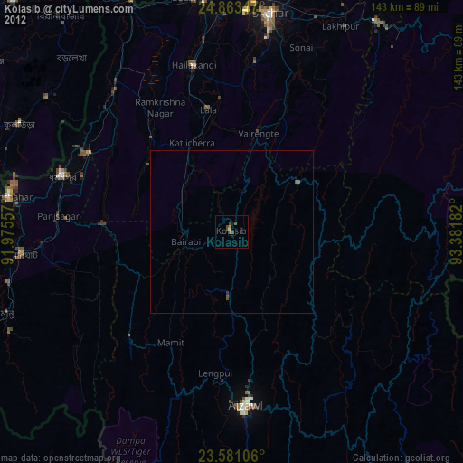
» Earth at Night: Flat Maps 2012, 2016