Kailāshahar night lights from space
Night Light of Kailāshahar (Tripura) from space (India) Src. Average luminocity for 10x10km area is 35.8864% and for 50x50km: 6.8726%.
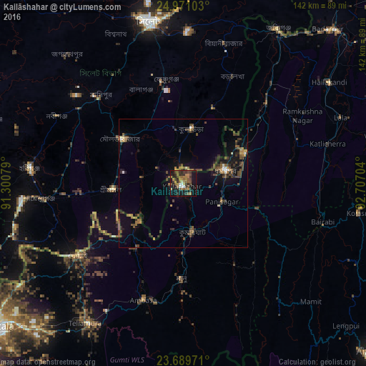
Analysis of Kailāshahar night lights 2016
Square area 10x10 km:
 2.08%
2.08%90-99
2.46%80-89
1.14%70-79
4.36%60-69
11.36%50-59
10.98%40-49
7.2%30-39
10.98%20-29
8.33%10-19
31.06%0-9
10.04%Square area 50x50 km:
0.23%90-99
0.42%80-89
0.38%70-79
0.55%60-69
1.35%50-59
1.69%40-49
2.06%30-39
1.63%20-29
1.88%10-19
5.25%0-9
84.57%Clear (daylight) street map image can be seen on geolist.org.
Map coordinates:
24° 58' 15.7" North, 91° 18' 2.8" East
24° 19' 55.2" North, 92° 0' 14.1" East
23° 41' 23" North, 92° 42' 25.3" East
Some cities around Kailāshahar sort by population:
• Sylhet, BD
64.4 km =40 mi,  348°
348°
• Habiganj, BD
60.1 km =37.3 mi,  275°
275°
• Maulavi Bāzār, BD
29.4 km =18.3 mi,  306°
306°
• Dharmanagar
16.9 km =10.5 mi,  76°
76°
• Khowai
49.7 km =30.9 mi,  235°
235°
• Lāla
66.7 km =41.4 mi,  68°
68°
• Āmbāsa
46.6 km =29 mi,  199°
199°
• Kamalpur
22.9 km =14.2 mi,  228°
228°
1268622 (p: 22,120)
Sources (retrieved 2019-11-25):
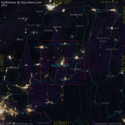
» Earth at Night: Flat Maps 2012, 2016