Sahāranpur night lights from space
Night Light of Sahāranpur (Uttar Pradesh) from space (India) Src. Average luminocity for 10x10km area is 88.1383% and for 50x50km: 36.0574%.
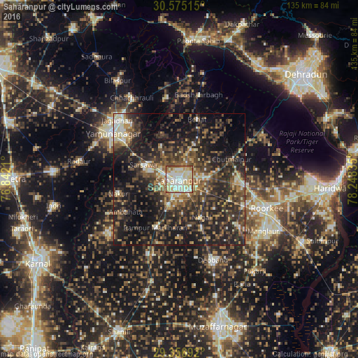
Analysis of Sahāranpur night lights 2016
Square area 10x10 km:
 23.86%
90-99
28.41%80-89
27.65%70-79
7.58%60-69
8.33%50-59
3.6%40-49
0.57%30-39
0%20-29
0%10-19
0%0-9
0%Square area 50x50 km:
2.57%90-99
4.91%80-89
4.49%70-79
3.81%60-69
4.44%50-59
7.39%40-49
9.19%30-39
9.68%20-29
16.62%10-19
21.56%0-9
15.34%Clear (daylight) street map image can be seen on geolist.org.
Map coordinates:
30° 34' 30.5" North, 76° 50' 31.6" East
29° 58' 4.4" North, 77° 32' 42.8" East
29° 21' 24.9" North, 78° 14' 54.1" East
Some cities around Sahāranpur sort by population:
• Yamunānagar
30.8 km =19.1 mi,  305°
305°
• Rāmpur
20.1 km =12.5 mi,  206°
206°
• Nakūr
23.8 km =14.8 mi,  256°
256°
• Nanauta
31 km =19.3 mi,  203°
203°
• Behat
23.6 km =14.7 mi,  16°
16°
• Ambahta
23.6 km =14.7 mi,  238°
238°
• Chhutmalpur
21.3 km =13.2 mi,  70°
70°
• Būriya
27.9 km =17.3 mi,  319°
319°
1257806 (p: 484,873)
Sources (retrieved 2019-11-25):
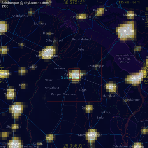
» NASA, Earths city lights 1995
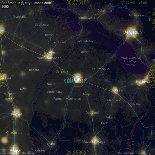
» NASA city lights 2003
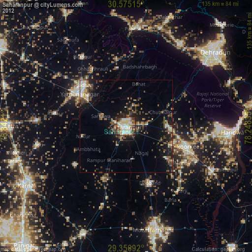
» Earth at Night: Flat Maps 2012, 2016