Repalle night lights from space
Night Light of Repalle (Andhra Pradesh) from space (India) Src. Average luminocity for 10x10km area is 15.405% and for 50x50km: 9.0318%.
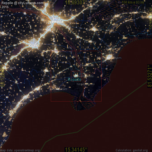
Analysis of Repalle night lights 2016
Square area 10x10 km:
 0.41%
0.41%90-99
4.55%80-89
0.41%70-79
1.24%60-69
0.41%50-59
4.75%40-49
1.65%30-39
1.65%20-29
3.1%10-19
2.07%0-9
79.75%Square area 50x50 km:
0.15%90-99
0.65%80-89
0.55%70-79
0.79%60-69
1.19%50-59
1.85%40-49
2.37%30-39
2.6%20-29
2.86%10-19
4.81%0-9
82.18%Clear (daylight) street map image can be seen on geolist.org.
Map coordinates:
16° 41' 35.1" North, 80° 7' 35.3" East
16° 1' 6.2" North, 80° 49' 46.5" East
15° 20' 29.2" North, 81° 31' 57.8" East
Some cities around Repalle sort by population:
• Machilīpatnam
38 km =23.6 mi,  60°
60°
• Bāpatla
40.7 km =25.3 mi,  251°
251°
• Ponnūru
30.1 km =18.7 mi,  280°
280°
• Ponnur
30.5 km =19 mi, 281°
• Vuyyūru
38.4 km =23.9 mi,  2°
2°
• Avanigadda
9.5 km =5.9 mi,  87°
87°
• Bhattiprolu
10.7 km =6.6 mi,  330°
330°
• Challapalle
15.5 km =9.6 mi,  44°
44°
1258201 (p: 42,967)
Sources (retrieved 2019-11-25):
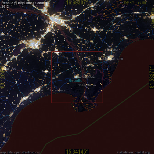
» Earth at Night: Flat Maps 2012, 2016