Rāmnagar night lights from space
Night Light of Rāmnagar (Bihar) from space (India) Src. Average luminocity for 10x10km area is 22.8371% and for 50x50km: 4.1805%.
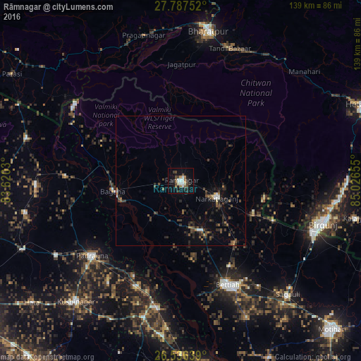
Analysis of Rāmnagar night lights 2016
Square area 10x10 km:
 3.03%
3.03%90-99
5.49%80-89
0.76%70-79
1.7%60-69
2.08%50-59
2.27%40-49
5.11%30-39
2.46%20-29
5.87%10-19
17.61%0-9
53.6%Square area 50x50 km:
0.29%90-99
0.42%80-89
0.09%70-79
0.24%60-69
0.44%50-59
0.76%40-49
1.11%30-39
1.17%20-29
1.53%10-19
2.31%0-9
91.65%Clear (daylight) street map image can be seen on geolist.org.
Map coordinates:
27° 47' 15.1" North, 83° 37' 13.1" East
27° 9' 49.4" North, 84° 19' 24.3" East
26° 32' 11" North, 85° 1' 35.6" East
Some cities around Rāmnagar sort by population:
• Birgañj, NP
57.5 km =35.7 mi,  106°
106°
• Bettiah
44 km =27.3 mi,  156°
156°
• Bagaha
24.2 km =15 mi,  252°
252°
• Raxaul
56.1 km =34.9 mi, 111°
• Padrauna
44.5 km =27.7 mi,  229°
229°
• Siswā Bāzār
56 km =34.8 mi,  268°
268°
• Khada
43.6 km =27.1 mi, 272°
• Rāmkola
56.2 km =34.9 mi,  238°
238°
1258639 (p: 43,497)
Sources (retrieved 2019-11-25):
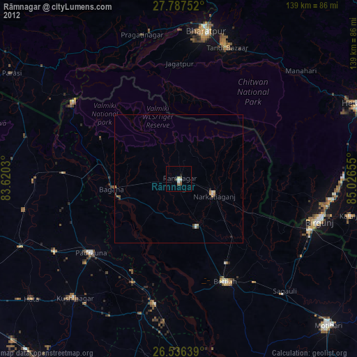
» Earth at Night: Flat Maps 2012, 2016