Bagaha night lights from space
Night Light of Bagaha (Bihar) from space (India) Src. Average luminocity for 10x10km area is 10.3674% and for 50x50km: 4.3234%.
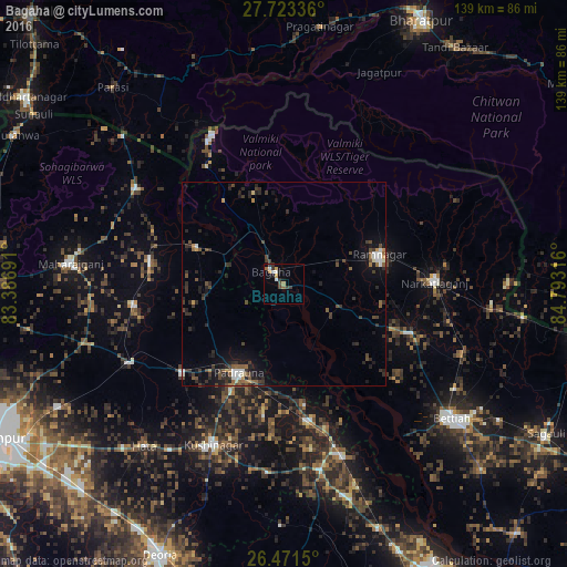

Analysis of Bagaha night lights 2016
Square area 10x10 km:
 1.33%
1.33%90-99
1.7%80-89
0%70-79
2.27%60-69
0.76%50-59
1.52%40-49
0.76%30-39
4.36%20-29
0.95%10-19
2.27%0-9
84.09%Square area 50x50 km:
0.38%90-99
0.48%80-89
0.12%70-79
0.35%60-69
0.36%50-59
0.81%40-49
0.9%30-39
1.57%20-29
1.85%10-19
2.53%0-9
90.64%Clear (daylight) street map image can be seen on geolist.org.
Map coordinates:
27° 43' 24.1" North, 83° 23' 12.9" East
27° 5' 57" North, 84° 5' 24.1" East
26° 28' 17.4" North, 84° 47' 35.4" East
Some cities around Bagaha sort by population:
• Padrauna
24.2 km =15 mi,  206°
206°
• Rāmnagar
24.2 km =15 mi,  72°
72°
• Siswā Bāzār
33.3 km =20.7 mi,  279°
279°
• Nichlaul
43.2 km =26.8 mi,  303°
303°
• Khada
22.5 km =14 mi,  294°
294°
• Rāmkola
33.3 km =20.7 mi,  228°
228°
• Captainganj
42 km =26.1 mi,  242°
242°
• Hātā
52.5 km =32.6 mi,  220°
220°
1277939 (p: 103,855)
Sources (retrieved 2019-11-25):
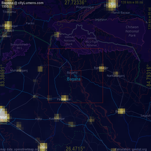
» NASA, Earths city lights 1995
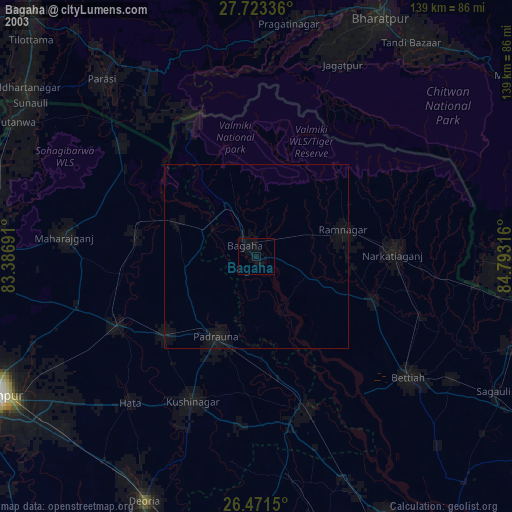
» NASA city lights 2003
» Earth at Night: Flat Maps 2012, 2016