Puttūr night lights from space
Night Light of Puttūr (Andhra Pradesh) from space (India) Src. Average luminocity for 10x10km area is 27.5682% and for 50x50km: 14.8674%.
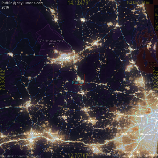
Analysis of Puttūr night lights 2016
Square area 10x10 km:
 0%
0%90-99
2.69%80-89
6.82%70-79
2.07%60-69
2.89%50-59
9.92%40-49
4.75%30-39
4.34%20-29
2.89%10-19
30.37%0-9
33.26%Square area 50x50 km:
0.5%90-99
2.88%80-89
2.12%70-79
1.35%60-69
1.74%50-59
2.68%40-49
3.66%30-39
3.63%20-29
3.71%10-19
7.16%0-9
70.56%Clear (daylight) street map image can be seen on geolist.org.
Map coordinates:
14° 7' 29.1" North, 78° 51' 0.1" East
13° 26' 30.8" North, 79° 33' 11.3" East
12° 45' 25.5" North, 80° 15' 22.6" East
Some cities around Puttūr sort by population:
• Tirupati
25.9 km =16.1 mi,  326°
326°
• Thiruthani
30.4 km =18.9 mi,  166°
166°
• Nagari
13.8 km =8.6 mi, 165°
• Renigunta
23.7 km =14.7 mi,  349°
349°
• Akkarampalle
27.3 km =17 mi, 328°
• Nārāyanavanam
4.3 km =2.7 mi,  115°
115°
• Narasingāpuram
31.5 km =19.6 mi,  305°
305°
• Pallipattu
16.4 km =10.2 mi,  225°
225°
1259123 (p: 30,986)
Sources (retrieved 2019-11-25):
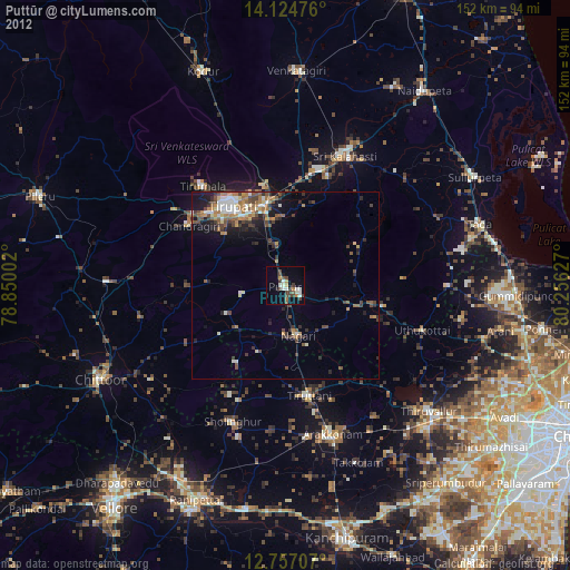
» Earth at Night: Flat Maps 2012, 2016