Bihārīganj night lights from space
Night Light of Bihārīganj (Bihar) from space (India) Src. Average luminocity for 10x10km area is 27.3144% and for 50x50km: 16.4133%.
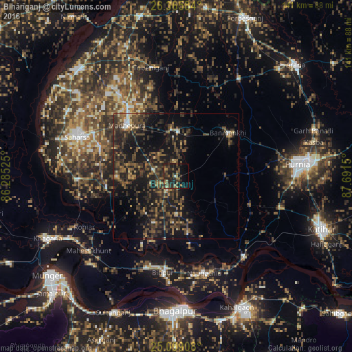
Analysis of Bihārīganj night lights 2016
Square area 10x10 km:
 0.19%
0.19%90-99
0.57%80-89
2.27%70-79
2.27%60-69
5.11%50-59
8.71%40-49
6.44%30-39
10.23%20-29
14.96%10-19
25.38%0-9
23.86%Square area 50x50 km:
0.53%90-99
0.67%80-89
1.09%70-79
1.33%60-69
2.16%50-59
3.98%40-49
5.55%30-39
5.74%20-29
7.74%10-19
17.37%0-9
53.84%Clear (daylight) street map image can be seen on geolist.org.
Map coordinates:
26° 21' 57" North, 86° 17' 6.9" East
25° 44' 2.9" North, 86° 59' 18.1" East
25° 5' 56.7" North, 87° 41' 29.4" East
Some cities around Bihārīganj sort by population:
• Purnia
48.9 km =30.4 mi,  84°
84°
• Saharsa
42.3 km =26.3 mi,  291°
291°
• Bangaon
50 km =31.1 mi, 287°
• Madhipura
28.6 km =17.8 mi,  316°
316°
• Naugachhia
40.1 km =24.9 mi,  163°
163°
• Banmankhi
26.8 km =16.7 mi,  50°
50°
• Murlīganj
18.1 km =11.2 mi,  2°
2°
• Chhātāpur
54 km =33.6 mi, 1°
1275719 (p: 32,805)
Sources (retrieved 2019-11-25):
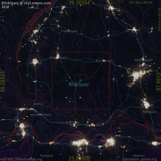
» Earth at Night: Flat Maps 2012, 2016