Kadiri night lights from space
Night Light of Kadiri (Andhra Pradesh) from space (India) Src. Average luminocity for 10x10km area is 16.5563% and for 50x50km: 1.4333%.
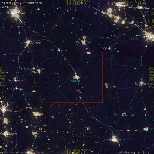
Analysis of Kadiri night lights 2016
Square area 10x10 km:
 1.08%
1.08%90-99
4.11%80-89
3.25%70-79
0.22%60-69
1.73%50-59
4.33%40-49
1.73%30-39
0.87%20-29
1.73%10-19
1.73%0-9
79.22%Square area 50x50 km:
0.06%90-99
0.25%80-89
0.18%70-79
0.04%60-69
0.23%50-59
0.27%40-49
0.3%30-39
0.28%20-29
0.43%10-19
0.21%0-9
97.74%Clear (daylight) street map image can be seen on geolist.org.
Map coordinates:
14° 47' 33.2" North, 77° 27' 24.1" East
14° 6' 42" North, 78° 9' 35.4" East
13° 25' 43.6" North, 78° 51' 46.6" East
Some cities around Kadiri sort by population:
• Dharmavaram
58.1 km =36.1 mi,  305°
305°
• Rāyachoti
64 km =39.8 mi,  95°
95°
• Pulivendla
35.1 km =21.8 mi,  11°
11°
• Gorantla
44.1 km =27.4 mi,  251°
251°
• Bāgepalli
53.6 km =33.3 mi,  227°
227°
• Penukonda
61 km =37.9 mi,  266°
266°
• Gudibanda
69.4 km =43.1 mi, 225°
• Puttaparthi
38 km =23.6 mi,  279°
279°
1268673 (p: 81,498)
Sources (retrieved 2019-11-25):
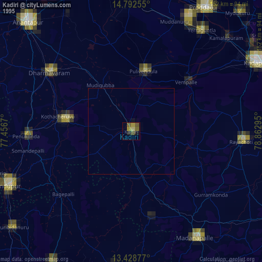
» NASA, Earths city lights 1995
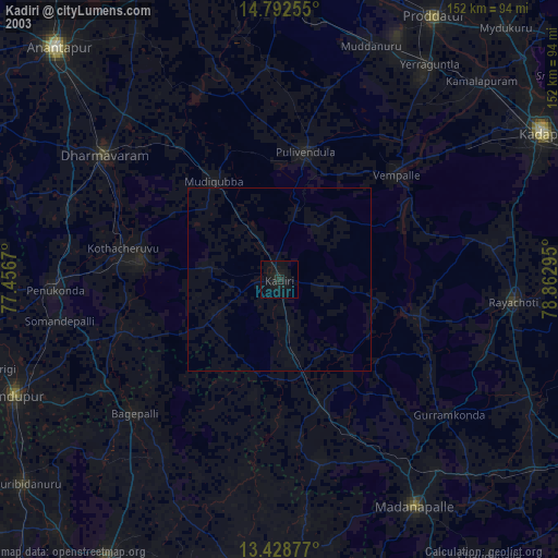
» NASA city lights 2003
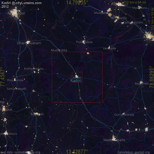
» Earth at Night: Flat Maps 2012, 2016