Pāonta Sāhib night lights from space
Night Light of Pāonta Sāhib (Himachal Pradesh) from space (India) Src. Average luminocity for 10x10km area is 48.4066% and for 50x50km: 11.9546%.
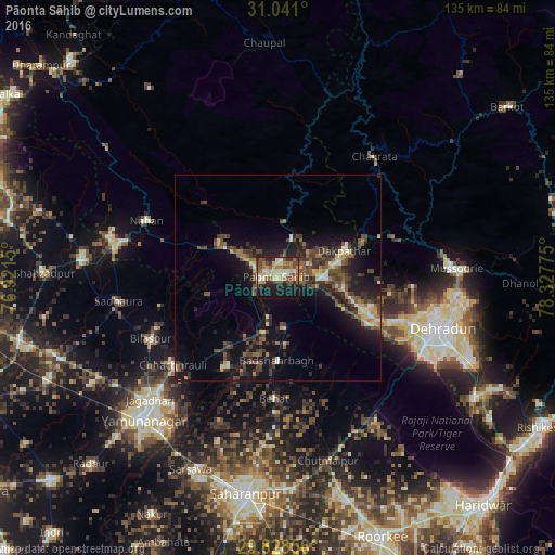
Analysis of Pāonta Sāhib night lights 2016
Square area 10x10 km:
 3.85%
3.85%90-99
9.34%80-89
9.89%70-79
4.21%60-69
8.97%50-59
10.81%40-49
10.81%30-39
4.76%20-29
10.44%10-19
25.46%0-9
1.47%Square area 50x50 km:
0.51%90-99
1.38%80-89
1.38%70-79
1.05%60-69
1.36%50-59
2.51%40-49
3%30-39
3.23%20-29
4.18%10-19
10.3%0-9
71.1%Clear (daylight) street map image can be seen on geolist.org.
Map coordinates:
31° 2' 27.6" North, 76° 55' 17.4" East
30° 26' 12" North, 77° 37' 28.6" East
29° 49' 42.8" North, 78° 19' 39.9" East
Some cities around Pāonta Sāhib sort by population:
• Dehra Dūn
41.2 km =25.6 mi,  107°
107°
• Nāhan
34.5 km =21.4 mi,  293°
293°
• Behat
29.5 km =18.3 mi,  182°
182°
• Vikāsnagar
14.7 km =9.1 mi,  75°
75°
• Chhachhrauli
33.1 km =20.6 mi,  229°
229°
• Bilāspur
34.1 km =21.2 mi,  244°
244°
• Būriya
40.1 km =24.9 mi,  219°
219°
• Harbatpur
11.1 km =6.9 mi,  88°
88°
1260421 (p: 21,787)
Sources (retrieved 2019-11-25):
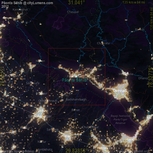
» Earth at Night: Flat Maps 2012, 2016