Panruti night lights from space
Night Light of Panruti (Tamil Nadu) from space (India) Src. Average luminocity for 10x10km area is 32.9607% and for 50x50km: 29.8785%.
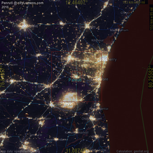
Analysis of Panruti night lights 2016
Square area 10x10 km:
 0%
0%90-99
2.89%80-89
4.34%70-79
3.1%60-69
3.31%50-59
5.99%40-49
14.46%30-39
11.36%20-29
17.77%10-19
26.86%0-9
9.92%Square area 50x50 km:
0.95%90-99
3.55%80-89
5.04%70-79
4.3%60-69
3.38%50-59
6.68%40-49
8.33%30-39
8.15%20-29
10.9%10-19
13.51%0-9
35.21%Clear (daylight) street map image can be seen on geolist.org.
Map coordinates:
12° 27' 50.7" North, 78° 50' 58.5" East
11° 46' 35.8" North, 79° 33' 9.7" East
11° 5' 14.8" North, 80° 15' 21" East
Some cities around Panruti sort by population:
• Puducherry
34.9 km =21.7 mi,  59°
59°
• Cuddalore
23.4 km =14.5 mi,  95°
95°
• Villupuram
19.3 km =12 mi,  340°
340°
• Nellikkuppam
12.8 km =8 mi,  90°
90°
• Kurinjippādi
25.5 km =15.8 mi,  170°
170°
• Valavanur
16.4 km =10.2 mi,  11°
11°
• Vikravāndi
28.9 km =18 mi,  358°
358°
• Ālappākkam
26.8 km =16.7 mi,  137°
137°
1260448 (p: 56,586)
Sources (retrieved 2019-11-25):
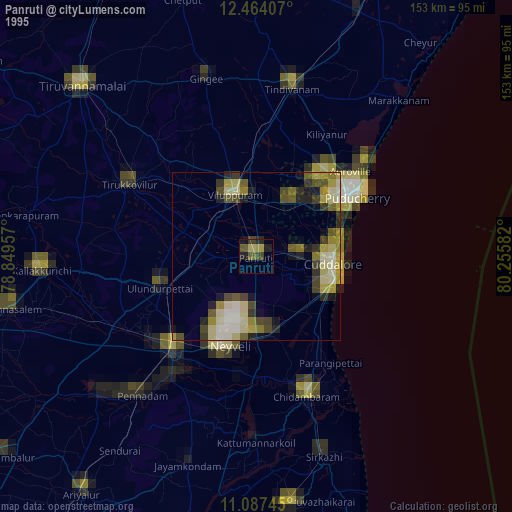
» NASA, Earths city lights 1995
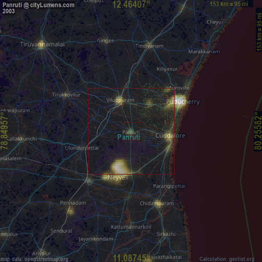
» NASA city lights 2003
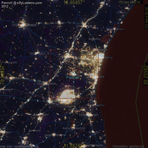
» Earth at Night: Flat Maps 2012, 2016