Puducherry night lights from space
Night Light of Puducherry from space (India) Src. Average luminocity for 10x10km area is 62.1095% and for 50x50km: 20.5209%.
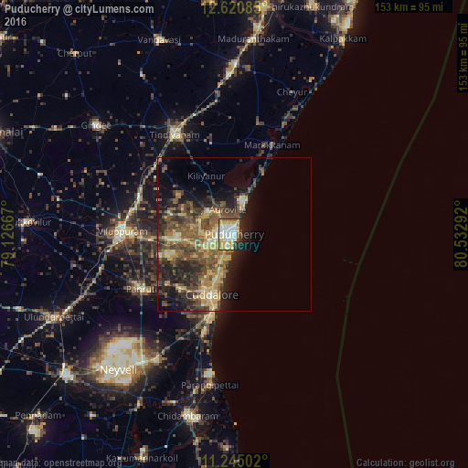
Analysis of Puducherry night lights 2016
Square area 10x10 km:
 14.26%
90-99
18.8%80-89
10.74%70-79
9.09%60-69
5.79%50-59
3.93%40-49
2.27%30-39
4.13%20-29
12.6%10-19
16.94%0-9
1.45%Square area 50x50 km:
0.75%90-99
2.13%80-89
3.54%70-79
3.63%60-69
2.64%50-59
5.26%40-49
5.75%30-39
4.18%20-29
6.73%10-19
8.75%0-9
56.64%Clear (daylight) street map image can be seen on geolist.org.
Map coordinates:
12° 37' 15.1" North, 79° 7' 36" East
11° 56' 1.7" North, 79° 49' 47.2" East
11° 14' 42.1" North, 80° 31' 58.5" East
Some cities around Puducherry sort by population:
• Cuddalore
20.9 km =13 mi,  199°
199°
• Villupuram
36.7 km =22.8 mi,  271°
271°
• Tindivanam
38.4 km =23.9 mi,  330°
330°
• Panruti
34.9 km =21.7 mi,  239°
239°
• Nellikkuppam
24.7 km =15.3 mi,  224°
224°
• Marakkanam
31.2 km =19.4 mi,  23°
23°
• Valavanur
27 km =16.8 mi, 266°
• Vikravāndi
32.9 km =20.4 mi,  290°
290°
1259425 (p: 227,411)
Sources (retrieved 2019-11-25):
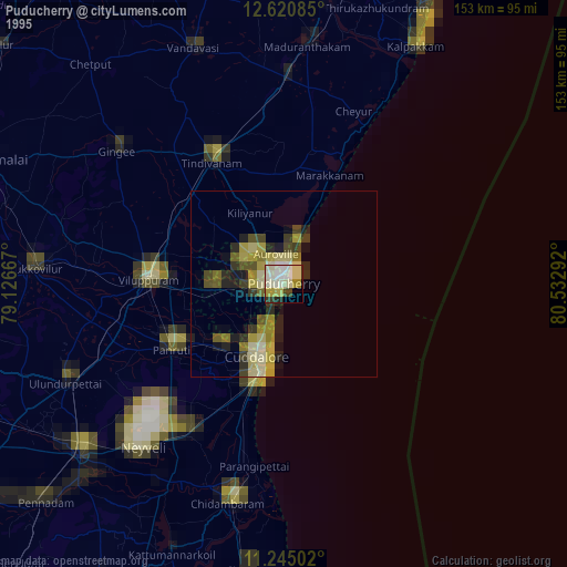
» NASA, Earths city lights 1995
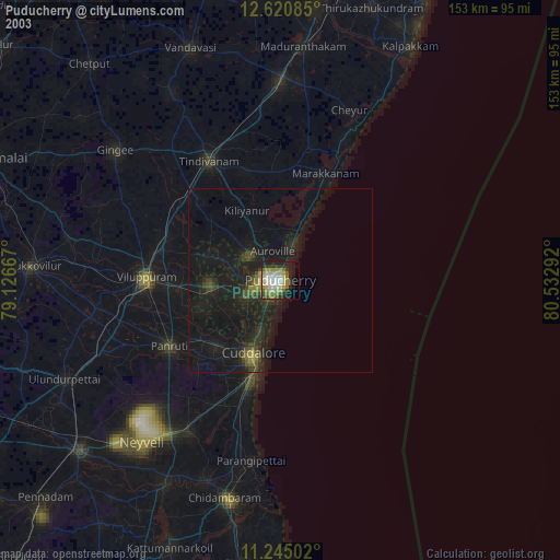
» NASA city lights 2003
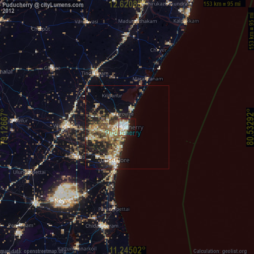
» Earth at Night: Flat Maps 2012, 2016