Chettipālaiyam night lights from space
Night Light of Chettipālaiyam (Tamil Nadu) from space (India) Src. Average luminocity for 10x10km area is 41.7857% and for 50x50km: 31.5566%.
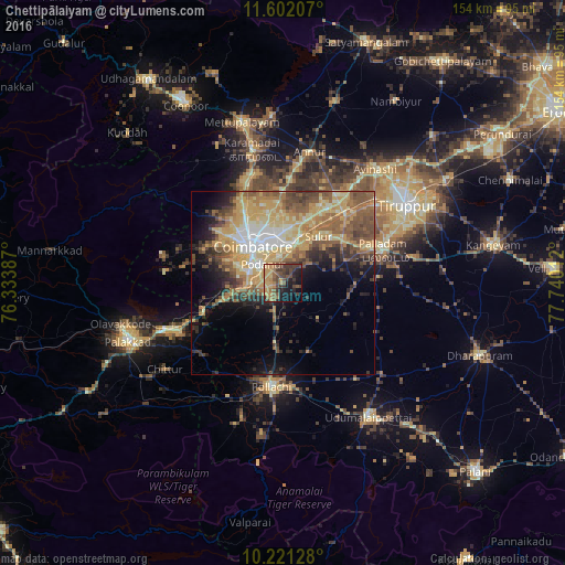
Analysis of Chettipālaiyam night lights 2016
Square area 10x10 km:
 0%
0%90-99
0%80-89
4.33%70-79
16.02%60-69
7.58%50-59
10.17%40-49
14.94%30-39
12.12%20-29
8.23%10-19
19.48%0-9
7.14%Square area 50x50 km:
2.74%90-99
3.91%80-89
6.36%70-79
7.98%60-69
4.71%50-59
6.76%40-49
6%30-39
3.59%20-29
4.77%10-19
7.87%0-9
45.31%Clear (daylight) street map image can be seen on geolist.org.
Map coordinates:
11° 36' 7.5" North, 76° 20' 1.9" East
10° 54' 44.9" North, 77° 2' 13.2" East
10° 13' 16.6" North, 77° 44' 24.4" East
Some cities around Chettipālaiyam sort by population:
• Coimbatore
12.9 km =8 mi,  323°
323°
• Singānallūr
9.6 km =6 mi,  357°
357°
• Madukkarai
8.1 km =5 mi,  264°
264°
• Sulur
15.8 km =9.8 mi,  37°
37°
• Periyanayakkanpalaiyam
28.3 km =17.6 mi,  340°
340°
• Irugūr
12 km =7.5 mi,  13°
13°
• Perūr
15.2 km =9.4 mi,  297°
297°
• Periyanegamam
20.2 km =12.6 mi,  159°
159°
1274389 (p: 24,080)
Sources (retrieved 2019-11-25):
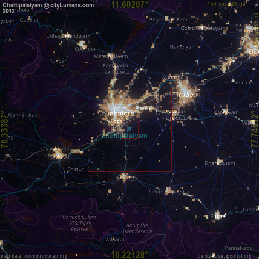
» Earth at Night: Flat Maps 2012, 2016