North Lakhimpur night lights from space
Night Light of North Lakhimpur (Assam) from space (India) Src. Average luminocity for 10x10km area is 6.0511% and for 50x50km: 0.6056%.
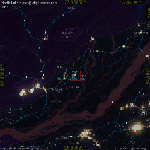

Analysis of North Lakhimpur night lights 2016
Square area 10x10 km:
 0%
0%90-99
0%80-89
0%70-79
0%60-69
0.19%50-59
2.27%40-49
4.36%30-39
3.22%20-29
2.46%10-19
1.33%0-9
86.17%Square area 50x50 km:
0%90-99
0%80-89
0%70-79
0.03%60-69
0.04%50-59
0.16%40-49
0.34%30-39
0.23%20-29
0.43%10-19
0.34%0-9
98.43%Clear (daylight) street map image can be seen on geolist.org.
Map coordinates:
27° 51' 30.9" North, 93° 24' 1.6" East
27° 14' 6.6" North, 94° 6' 12.9" East
26° 36' 29.7" North, 94° 48' 24.1" East
Some cities around North Lakhimpur sort by population:
• Jorhāt
54 km =33.6 mi,  169°
169°
• Sibsāgar
59.8 km =37.2 mi,  117°
117°
• Itānagar
51.5 km =32 mi,  251°
251°
• Naharlagun
42.9 km =26.7 mi, 250°
• Ziro
47.8 km =29.7 mi,  326°
326°
• Dergaon
61 km =37.9 mi,  192°
192°
• Dhemāji
54.8 km =34.1 mi,  59°
59°
• Bihpuriāgaon
30.5 km =19 mi,  217°
217°
1261181 (p: 59,841)
Sources (retrieved 2019-11-25):
» NASA, Earths city lights 1995
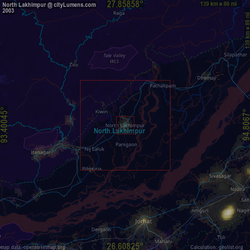
» NASA city lights 2003
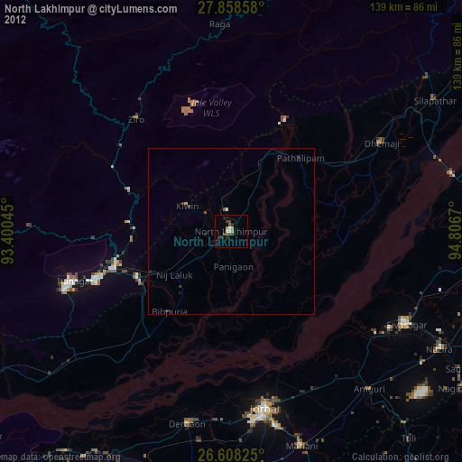
» Earth at Night: Flat Maps 2012, 2016