Itānagar night lights from space
Night Light of Itānagar (Arunachal Pradesh) from space (India) Src. Average luminocity for 10x10km area is 29.0777% and for 50x50km: 3.8395%.
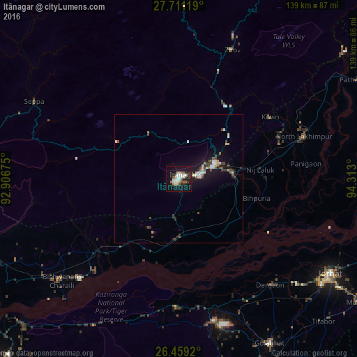
Analysis of Itānagar night lights 2016
Square area 10x10 km:
 4.36%
4.36%90-99
7.95%80-89
2.84%70-79
1.7%60-69
3.22%50-59
1.7%40-49
3.98%30-39
1.52%20-29
3.22%10-19
40.91%0-9
28.6%Square area 50x50 km:
0.47%90-99
0.82%80-89
0.29%70-79
0.23%60-69
0.3%50-59
0.43%40-49
0.81%30-39
0.36%20-29
0.55%10-19
4.55%0-9
91.2%Clear (daylight) street map image can be seen on geolist.org.
Map coordinates:
27° 42' 40.3" North, 92° 54' 24.3" East
27° 5' 13" North, 93° 36' 35.5" East
26° 27' 33.1" North, 94° 18' 46.8" East
Some cities around Itānagar sort by population:
• North Lakhimpur
51.5 km =32 mi,  71°
71°
• Naharlagun
8.7 km =5.4 mi,  76°
76°
• Ziro
60.8 km =37.8 mi,  21°
21°
• Dergaon
55.7 km =34.6 mi,  140°
140°
• Bihpuriāgaon
31.4 km =19.5 mi,  104°
104°
• Gohpur
22.8 km =14.2 mi,  178°
178°
• Bokākhāt
49.7 km =30.9 mi, 181°
• Numāligarh
52.8 km =32.8 mi,  167°
167°
1269655 (p: 44,971)
Sources (retrieved 2019-11-25):
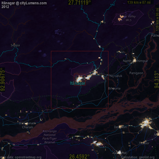
» Earth at Night: Flat Maps 2012, 2016