Dod Ballāpur night lights from space
Night Light of Dod Ballāpur (Karnataka) from space (India) Src. Average luminocity for 10x10km area is 58.5558% and for 50x50km: 36.6506%.
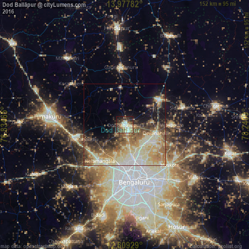
Analysis of Dod Ballāpur night lights 2016
Square area 10x10 km:
 4.75%
4.75%90-99
21.49%80-89
9.09%70-79
2.89%60-69
7.44%50-59
10.74%40-49
10.74%30-39
12.81%20-29
9.5%10-19
10.33%0-9
0.21%Square area 50x50 km:
3.19%90-99
8.9%80-89
8.69%70-79
4.41%60-69
5.63%50-59
6.58%40-49
5.33%30-39
4.89%20-29
5.32%10-19
8.28%0-9
38.77%Clear (daylight) street map image can be seen on geolist.org.
Map coordinates:
13° 58' 40.2" North, 76° 50' 4.7" East
13° 17' 40.3" North, 77° 32' 16" East
12° 36' 33.4" North, 78° 14' 27.2" East
Some cities around Dod Ballāpur sort by population:
• Bengaluru
36.4 km =22.6 mi,  170°
170°
• Yelahanka
22.5 km =14 mi,  163°
163°
• Chik Ballāpur
25.8 km =16 mi,  52°
52°
• Sidlaghatta
36.9 km =22.9 mi,  73°
73°
• Goribidnūr
35.2 km =21.9 mi,  356°
356°
• Vadigenhalli
28.6 km =17.8 mi,  89°
89°
• Nelamangala
26.7 km =16.6 mi,  215°
215°
• Devanhalli
19.6 km =12.2 mi,  105°
105°
1272473 (p: 78,676)
Sources (retrieved 2019-11-25):
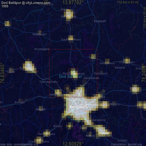
» NASA, Earths city lights 1995
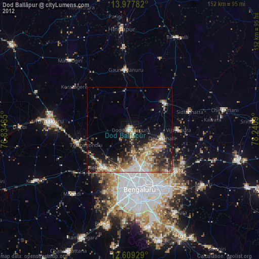
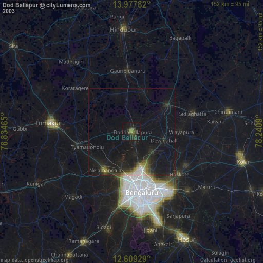
» NASA city lights 2003
» Earth at Night: Flat Maps 2012, 2016