Narāyangarh night lights from space
Night Light of Narāyangarh (Haryana) from space (India) Src. Average luminocity for 10x10km area is 20.5824% and for 50x50km: 16.7%.
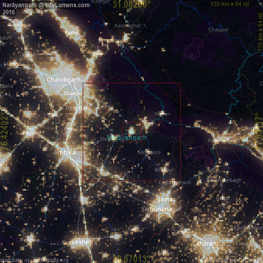
Analysis of Narāyangarh night lights 2016
Square area 10x10 km:
 1.1%
1.1%90-99
3.11%80-89
2.38%70-79
1.47%60-69
0.92%50-59
3.48%40-49
5.68%30-39
3.48%20-29
2.56%10-19
27.66%0-9
48.17%Square area 50x50 km:
0.85%90-99
2.48%80-89
2.33%70-79
1.29%60-69
2.13%50-59
3%40-49
4.05%30-39
4.49%20-29
5.84%10-19
10.35%0-9
63.2%Clear (daylight) street map image can be seen on geolist.org.
Map coordinates:
31° 4' 55.4" North, 76° 25' 29.7" East
30° 28' 40.7" North, 77° 7' 40.9" East
29° 52' 12.5" North, 77° 49' 52.2" East
Some cities around Narāyangarh sort by population:
• Panchkula
35.9 km =22.3 mi,  312°
312°
• Ambāla
34.2 km =21.3 mi,  247°
247°
• Jagādhri
38.4 km =23.9 mi,  153°
153°
• Nāhan
18.4 km =11.4 mi,  60°
60°
• Basi
29.7 km =18.5 mi,  294°
294°
• Chhachhrauli
34.2 km =21.3 mi,  139°
139°
• Bilāspur
25.6 km =15.9 mi, 138°
• Mustafābād
30.7 km =19.1 mi,  176°
176°
1261828 (p: 20,085)
Sources (retrieved 2019-11-25):
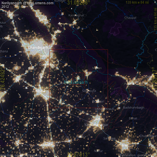
» Earth at Night: Flat Maps 2012, 2016