Napāsar night lights from space
Night Light of Napāsar (Rajasthan) from space (India) Src. Average luminocity for 10x10km area is 2.7273% and for 50x50km: 5.0451%.
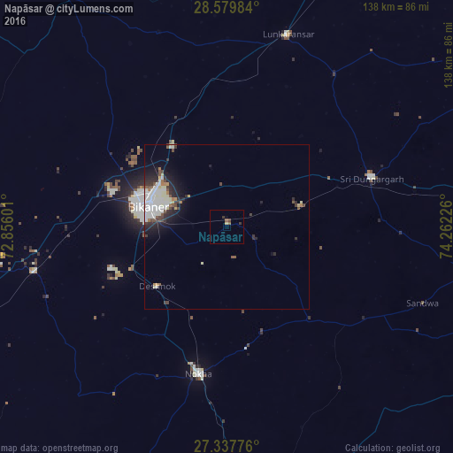
Analysis of Napāsar night lights 2016
Square area 10x10 km:
 0%
0%90-99
0%80-89
0.76%70-79
0%60-69
0.57%50-59
0.95%40-49
0.76%30-39
1.52%20-29
0%10-19
0%0-9
95.45%Square area 50x50 km:
1.15%90-99
1.34%80-89
0.57%70-79
0.17%60-69
0.35%50-59
0.45%40-49
0.68%30-39
0.65%20-29
1.56%10-19
2.28%0-9
90.82%Clear (daylight) street map image can be seen on geolist.org.
Map coordinates:
28° 34' 47.4" North, 72° 51' 21.6" East
27° 57' 38.1" North, 73° 33' 32.9" East
27° 20' 15.9" North, 74° 15' 44.1" East
Some cities around Napāsar sort by population:
• Bīkaner
24.8 km =15.4 mi,  284°
284°
• Nāgaur
86.1 km =53.5 mi,  168°
168°
• Nokha
45.2 km =28.1 mi,  191°
191°
• Sri Dūngargarh
46.6 km =29 mi,  71°
71°
• Bhādāsar
81.7 km =50.8 mi,  61°
61°
• Basni
88.1 km =54.7 mi, 174°
• Chhāpar
87.9 km =54.6 mi,  100°
100°
• Deshnoke
27.9 km =17.3 mi,  229°
229°
1261882 (p: 21,750)
Sources (retrieved 2019-11-25):
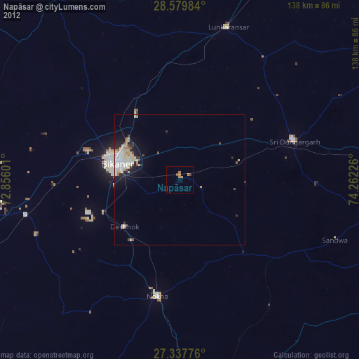
» Earth at Night: Flat Maps 2012, 2016