Nangal night lights from space
Night Light of Nangal (Punjab) from space (India) Src. Average luminocity for 10x10km area is 49.3077% and for 50x50km: 8.197%.
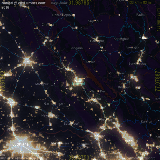
Analysis of Nangal night lights 2016
Square area 10x10 km:
 2.97%
2.97%90-99
16.96%80-89
8.74%70-79
5.94%60-69
7.17%50-59
7.34%40-49
3.32%30-39
5.94%20-29
11.19%10-19
21.5%0-9
8.92%Square area 50x50 km:
0.29%90-99
1.26%80-89
0.88%70-79
0.58%60-69
1.22%50-59
1.19%40-49
1.67%30-39
1.9%20-29
2.47%10-19
7.49%0-9
81.05%Clear (daylight) street map image can be seen on geolist.org.
Map coordinates:
31° 59' 16.6" North, 75° 40' 21.4" East
31° 23' 22.8" North, 76° 22' 32.7" East
30° 47' 15.1" North, 77° 4' 43.9" East
Some cities around Nangal sort by population:
• Hamīrpur
35.7 km =22.2 mi,  23°
23°
• Una
13.1 km =8.1 mi,  309°
309°
• Garhshankar
29.5 km =18.3 mi,  228°
228°
• Anandpur
20.6 km =12.8 mi,  144°
144°
• Bilaspur
36.8 km =22.9 mi,  100°
100°
• Nūrpur Kalān
26.8 km =16.7 mi,  157°
157°
• Santokhgarh
6.9 km =4.3 mi, 232°
• Ghumārwīn
32.7 km =20.3 mi,  79°
79°
1261922 (p: 48,497)
Sources (retrieved 2019-11-25):
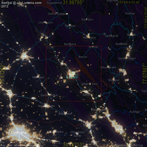
» Earth at Night: Flat Maps 2012, 2016