Betūl night lights from space
Night Light of Betūl (Madhya Pradesh) from space (India) Src. Average luminocity for 10x10km area is 42.498% and for 50x50km: 4.0079%.
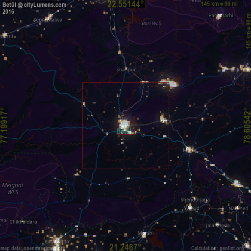
Analysis of Betūl night lights 2016
Square area 10x10 km:
 9.72%
9.72%90-99
9.52%80-89
5.75%70-79
1.98%60-69
4.76%50-59
4.76%40-49
4.17%30-39
3.97%20-29
6.75%10-19
44.05%0-9
4.56%Square area 50x50 km:
0.53%90-99
0.57%80-89
0.43%70-79
0.18%60-69
0.52%50-59
0.52%40-49
0.53%30-39
0.85%20-29
0.84%10-19
3.54%0-9
91.51%Clear (daylight) street map image can be seen on geolist.org.
Map coordinates:
22° 33' 5.2" North, 77° 11' 57" East
21° 54' 2" North, 77° 54' 8.2" East
21° 14' 48.1" North, 78° 36' 19.5" East
Some cities around Betūl sort by population:
• Warud
61 km =37.9 mi,  141°
141°
• Pāndhurnā
72.8 km =45.2 mi,  117°
117°
• Morsi
63.3 km =39.3 mi,  169°
169°
• Amla
23.4 km =14.5 mi,  83°
83°
• Multai
39.3 km =24.4 mi,  110°
110°
• Chāndūr Bāzār
75.3 km =46.8 mi,  192°
192°
• Bhainsdehi
40 km =24.9 mi,  224°
224°
• Mowād
74.6 km =46.4 mi,  130°
130°
1276389 (p: 91,953)
Sources (retrieved 2019-11-25):
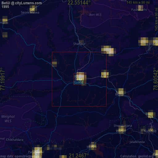
» NASA, Earths city lights 1995
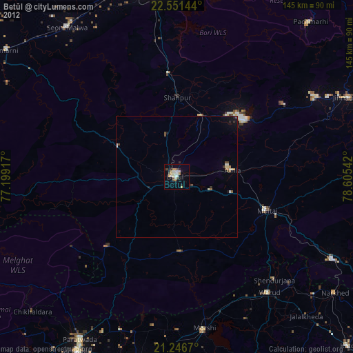
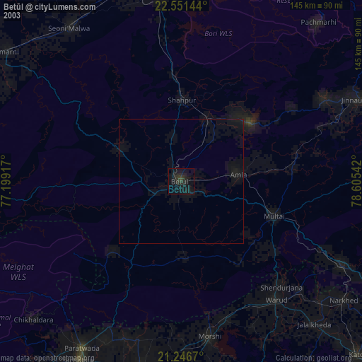
» NASA city lights 2003
» Earth at Night: Flat Maps 2012, 2016