Gorakhpur night lights from space
Night Light of Gorakhpur (Uttar Pradesh) from space (India) Src. Average luminocity for 10x10km area is 97.1726% and for 50x50km: 35.4529%.
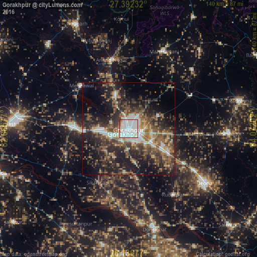
Analysis of Gorakhpur night lights 2016
Square area 10x10 km:
 63.69%
90-99
28.37%80-89
2.38%70-79
1.59%60-69
2.38%50-59
1.19%40-49
0.2%30-39
0.2%20-29
0%10-19
0%0-9
0%Square area 50x50 km:
5.48%90-99
5.17%80-89
2.56%70-79
3.11%60-69
5.65%50-59
7.51%40-49
7.71%30-39
8.37%20-29
12.95%10-19
17.37%0-9
24.12%Clear (daylight) street map image can be seen on geolist.org.
Map coordinates:
27° 23' 32.4" North, 82° 39' 56.8" East
26° 45' 58.6" North, 83° 22' 8" East
26° 8' 12.4" North, 84° 4' 19.3" East
Some cities around Gorakhpur sort by population:
• Khalīlābād
29.5 km =18.3 mi,  271°
271°
• Mehndāwal
34.7 km =21.6 mi,  312°
312°
• Maghar
24 km =14.9 mi, 267°
• Pipraich
17 km =10.6 mi,  66°
66°
• Bānsgāon
24.1 km =15 mi,  185°
185°
• Captainganj
38.5 km =23.9 mi,  62°
62°
• Hātā
37.5 km =23.3 mi,  94°
94°
• Anandnagar
38.4 km =23.9 mi,  345°
345°
1270927 (p: 674,246)
Sources (retrieved 2019-11-25):
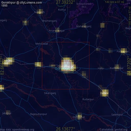
» NASA, Earths city lights 1995
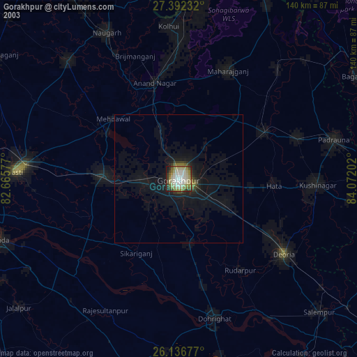
» NASA city lights 2003
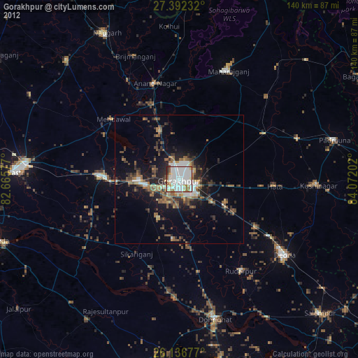
» Earth at Night: Flat Maps 2012, 2016