Mehekar night lights from space
Night Light of Mehekar (Maharashtra) from space (India) Src. Average luminocity for 10x10km area is 15.7698% and for 50x50km: 3.7788%.
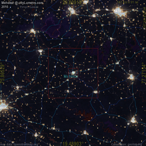
Analysis of Mehekar night lights 2016
Square area 10x10 km:
 1.19%
1.19%90-99
3.77%80-89
1.39%70-79
0%60-69
1.39%50-59
2.78%40-49
4.37%30-39
0.99%20-29
3.57%10-19
3.77%0-9
76.79%Square area 50x50 km:
0.18%90-99
0.35%80-89
0.16%70-79
0.31%60-69
0.71%50-59
0.89%40-49
0.85%30-39
1.03%20-29
0.99%10-19
1%0-9
93.51%Clear (daylight) street map image can be seen on geolist.org.
Map coordinates:
20° 48' 33" North, 75° 51' 55" East
20° 9' 1.8" North, 76° 34' 6.3" East
19° 29' 20.5" North, 77° 16' 17.5" East
Some cities around Mehekar sort by population:
• Wāshīm
59.1 km =36.7 mi,  94°
94°
• Buldāna
58.1 km =36.1 mi,  316°
316°
• Chikhli
39.3 km =24.4 mi,  304°
304°
• Bālāpur
61.2 km =38 mi,  20°
20°
• Risod
30 km =18.6 mi,  130°
130°
• Deūlgaon Rāja
57.4 km =35.7 mi,  255°
255°
• Lonār
19 km =11.8 mi,  195°
195°
• Pātūr
51.7 km =32.1 mi,  48°
48°
1263195 (p: 41,137)
Sources (retrieved 2019-11-25):
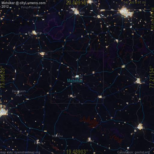
» Earth at Night: Flat Maps 2012, 2016