Wāshīm night lights from space
Night Light of Wāshīm (Maharashtra) from space (India) Src. Average luminocity for 10x10km area is 31.7063% and for 50x50km: 3.9592%.
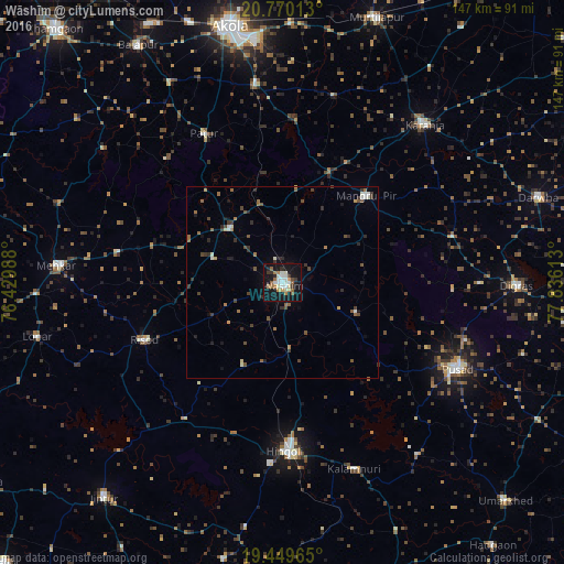
Analysis of Wāshīm night lights 2016
Square area 10x10 km:
 5.36%
5.36%90-99
7.14%80-89
2.38%70-79
2.38%60-69
5.75%50-59
3.77%40-49
0.99%30-39
3.17%20-29
5.16%10-19
41.67%0-9
22.22%Square area 50x50 km:
0.3%90-99
0.66%80-89
0.16%70-79
0.25%60-69
0.76%50-59
0.59%40-49
0.79%30-39
0.85%20-29
0.81%10-19
2.59%0-9
92.25%Clear (daylight) street map image can be seen on geolist.org.
Map coordinates:
20° 46' 12.5" North, 76° 25' 47.6" East
20° 6' 40.6" North, 77° 7' 58.8" East
19° 26' 58.7" North, 77° 50' 10.1" East
Some cities around Wāshīm sort by population:
• Hingoli
44.1 km =27.4 mi,  178°
178°
• Pusad
51.5 km =32 mi,  115°
115°
• Kāranja
55.5 km =34.5 mi,  41°
41°
• Risod
39 km =24.2 mi,  247°
247°
• Mangrūl Pīr
31.3 km =19.4 mi, 44°
• Kalamnūri
52.1 km =32.4 mi,  159°
159°
• Pātūr
43.9 km =27.3 mi,  332°
332°
• Anshing
20.6 km =12.8 mi,  112°
112°
1252908 (p: 68,622)
Sources (retrieved 2019-11-25):
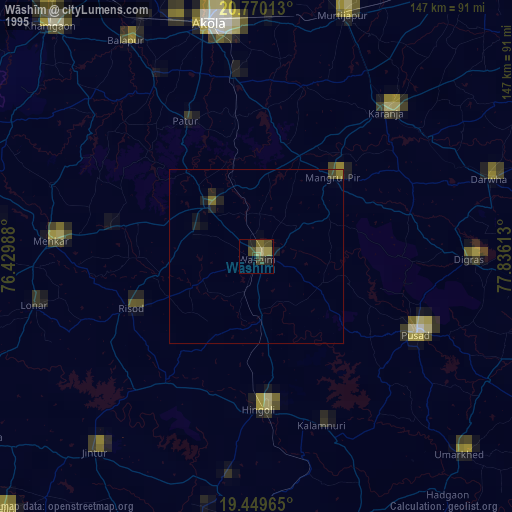
» NASA, Earths city lights 1995
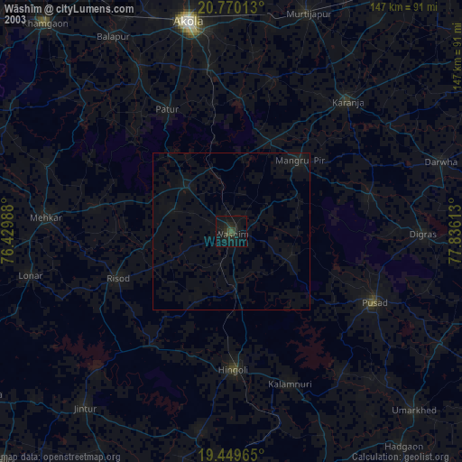
» NASA city lights 2003
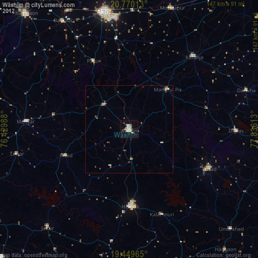
» Earth at Night: Flat Maps 2012, 2016