Jogindarnagar night lights from space
Night Light of Jogindarnagar (Himachal Pradesh) from space (India) Src. Average luminocity for 10x10km area is 2.1836% and for 50x50km: 1.0094%.
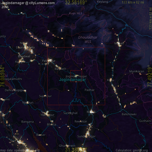
Analysis of Jogindarnagar night lights 2016
Square area 10x10 km:
 0%
0%90-99
0%80-89
0%70-79
0%60-69
1.22%50-59
1.75%40-49
0.17%30-39
0.35%20-29
0.35%10-19
0%0-9
96.15%Square area 50x50 km:
0.01%90-99
0.21%80-89
0.07%70-79
0.02%60-69
0.25%50-59
0.24%40-49
0.19%30-39
0.27%20-29
0.2%10-19
0.22%0-9
98.31%Clear (daylight) street map image can be seen on geolist.org.
Map coordinates:
32° 34' 54.1" North, 76° 5' 9.4" East
31° 59' 14.2" North, 76° 47' 20.6" East
31° 23' 20.3" North, 77° 29' 31.9" East
Some cities around Jogindarnagar sort by population:
• Mandi
33.5 km =20.8 mi,  156°
156°
• Kulu
30.3 km =18.8 mi,  96°
96°
• Dharamsala
51.2 km =31.8 mi,  300°
300°
• Hamīrpur
41.9 km =26 mi,  216°
216°
• Kāngar
50.9 km =31.6 mi,  283°
283°
• Manāli
47.1 km =29.3 mi,  50°
50°
• Tīra Sujānpur
31.8 km =19.8 mi,  237°
237°
• Jawāla Mukhi
46 km =28.6 mi,  254°
254°
1268849 (p: 5,233)
Sources (retrieved 2019-11-25):
» Earth at Night: Flat Maps 2012, 2016