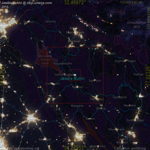
Jawāla Mukhi night lights from space
Night Light of Jawāla Mukhi (Himachal Pradesh) from space (India) Src. Average luminocity for 10x10km area is 2.5403% and for 50x50km: 2.002%.
Analysis of Jawāla Mukhi night lights 2016
Square area 10x10 km:
 0.37%
0.37%90-99
0.37%80-89
0.73%70-79
0%60-69
0%50-59
0.73%40-49
1.1%30-39
0.37%20-29
0%10-19
0%0-9
96.34%Square area 50x50 km:
0.07%90-99
0.25%80-89
0.24%70-79
0.18%60-69
0.13%50-59
0.47%40-49
0.54%30-39
0.4%20-29
0.65%10-19
0.49%0-9
96.58%Clear (daylight) street map image can be seen on geolist.org.
Map coordinates:
32° 28' 11" North, 75° 37' 1.2" East
31° 52' 28.4" North, 76° 19' 12.5" East
31° 16' 31.9" North, 77° 1' 23.7" East
Some cities around Jawāla Mukhi sort by population:
• Talwāra
41.5 km =25.8 mi,  279°
279°
• Dharamsala
38.4 km =23.9 mi,  0°
0°
• Hamīrpur
28.7 km =17.8 mi,  137°
137°
• Una
45.8 km =28.5 mi,  186°
186°
• Yol
34.3 km =21.3 mi,  340°
340°
• Kāngar
24.7 km =15.3 mi,  347°
347°
• Tīra Sujānpur
18.1 km =11.2 mi,  104°
104°
• Nagrota
29.6 km =18.4 mi,  313°
313°
1269119 (p: 5,281)
Sources (retrieved 2019-11-25):
» Earth at Night: Flat Maps 2012, 2016