Mācherla night lights from space
Night Light of Mācherla (Andhra Pradesh) from space (India) Src. Average luminocity for 10x10km area is 20.1405% and for 50x50km: 5.5724%.
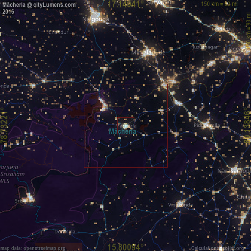
Analysis of Mācherla night lights 2016
Square area 10x10 km:
 1.65%
1.65%90-99
4.75%80-89
1.24%70-79
2.69%60-69
2.89%50-59
0.83%40-49
2.48%30-39
3.31%20-29
2.07%10-19
14.26%0-9
63.84%Square area 50x50 km:
0.34%90-99
0.69%80-89
0.5%70-79
0.36%60-69
0.59%50-59
1.24%40-49
1.13%30-39
1.14%20-29
1.3%10-19
2.74%0-9
89.96%Clear (daylight) street map image can be seen on geolist.org.
Map coordinates:
17° 8' 57.9" North, 78° 43' 56" East
16° 28' 34.9" North, 79° 26' 7.2" East
15° 48' 3.4" North, 80° 8' 18.5" East
Some cities around Mācherla sort by population:
• Nalgonda
66.7 km =41.4 mi,  344°
344°
• Suriāpet
76.4 km =47.5 mi,  14°
14°
• Miriālgūda
46.1 km =28.6 mi,  17°
17°
• Narasaraopet
70.8 km =44 mi,  112°
112°
• Vinukonda
57.2 km =35.5 mi,  145°
145°
• Chemmumiahpet
65.5 km =40.7 mi,  190°
190°
• Devarkonda
59.8 km =37.2 mi,  293°
293°
• Srīsailain
75.4 km =46.9 mi,  233°
233°
1264647 (p: 51,039)
Sources (retrieved 2019-11-25):
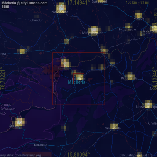
» NASA, Earths city lights 1995
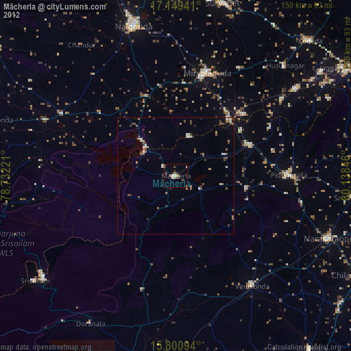
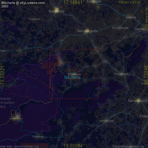
» NASA city lights 2003
» Earth at Night: Flat Maps 2012, 2016