Suriāpet night lights from space
Night Light of Suriāpet (Telangana) from space (India) Src. Average luminocity for 10x10km area is 42.0216% and for 50x50km: 7.8339%.
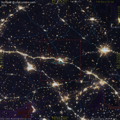
Analysis of Suriāpet night lights 2016
Square area 10x10 km:
 5.41%
5.41%90-99
9.52%80-89
5.19%70-79
4.55%60-69
5.41%50-59
4.33%40-49
5.41%30-39
8.44%20-29
11.47%10-19
38.53%0-9
1.73%Square area 50x50 km:
0.4%90-99
0.76%80-89
0.5%70-79
0.89%60-69
0.76%50-59
1.48%40-49
1.64%30-39
2.48%20-29
2.06%10-19
7.76%0-9
81.27%Clear (daylight) street map image can be seen on geolist.org.
Map coordinates:
17° 48' 40.4" North, 78° 55' 2.4" East
17° 8' 25.9" North, 79° 37' 13.6" East
16° 28' 2.8" North, 80° 19' 24.9" East
Some cities around Suriāpet sort by population:
• Khammam
56.8 km =35.3 mi,  77°
77°
• Nalgonda
38.8 km =24.1 mi,  255°
255°
• Miriālgūda
30.5 km =19 mi,  191°
191°
• Kodār
39.9 km =24.8 mi,  113°
113°
• Mācherla
76.4 km =47.5 mi, 194°
• Jaggayyapeta
57.7 km =35.9 mi,  118°
118°
• Mahbūbābād
65 km =40.4 mi,  38°
38°
• Dornakal
65.5 km =40.7 mi,  58°
58°
1255344 (p: 111,729)
Sources (retrieved 2019-11-25):
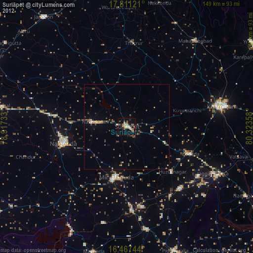
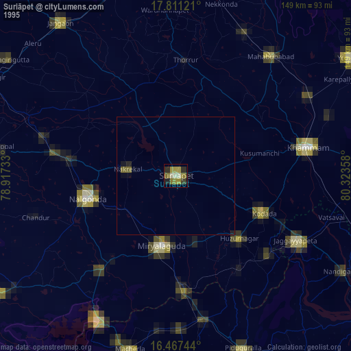
» NASA, Earths city lights 1995
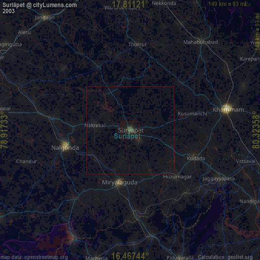
» NASA city lights 2003
» Earth at Night: Flat Maps 2012, 2016