Miriālgūda night lights from space
Night Light of Miriālgūda (Telangana) from space (India) Src. Average luminocity for 10x10km area is 48.6797% and for 50x50km: 10.0096%.
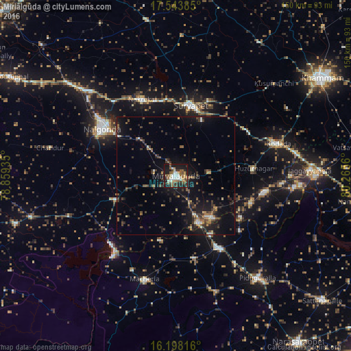
Analysis of Miriālgūda night lights 2016
Square area 10x10 km:
 3.46%
3.46%90-99
15.37%80-89
3.9%70-79
5.41%60-69
9.09%50-59
8.01%40-49
7.14%30-39
8.01%20-29
13.2%10-19
25.97%0-9
0.43%Square area 50x50 km:
0.39%90-99
0.95%80-89
0.67%70-79
0.9%60-69
1.3%50-59
1.85%40-49
2.08%30-39
2.72%20-29
3.68%10-19
9.15%0-9
76.3%Clear (daylight) street map image can be seen on geolist.org.
Map coordinates:
17° 32' 37.9" North, 78° 51' 33.7" East
16° 52' 19.9" North, 79° 33' 44.9" East
16° 11' 53.4" North, 80° 15' 56.2" East
Some cities around Miriālgūda sort by population:
• Khammam
74.6 km =46.4 mi,  55°
55°
• Nalgonda
37.4 km =23.2 mi,  302°
302°
• Suriāpet
30.5 km =19 mi,  11°
11°
• Kodār
45.1 km =28 mi,  71°
71°
• Mācherla
46.1 km =28.6 mi,  197°
197°
• Jaggayyapeta
57 km =35.4 mi,  87°
87°
• Nandigāma
77.8 km =48.3 mi,  98°
98°
• Devarkonda
71.2 km =44.2 mi,  253°
253°
1263012 (p: 101,234)
Sources (retrieved 2019-11-25):
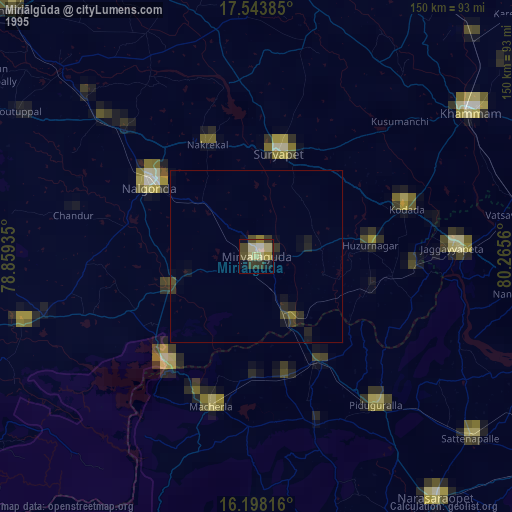
» NASA, Earths city lights 1995
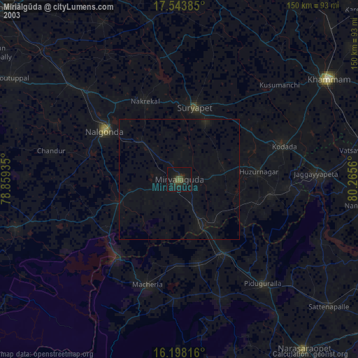
» NASA city lights 2003
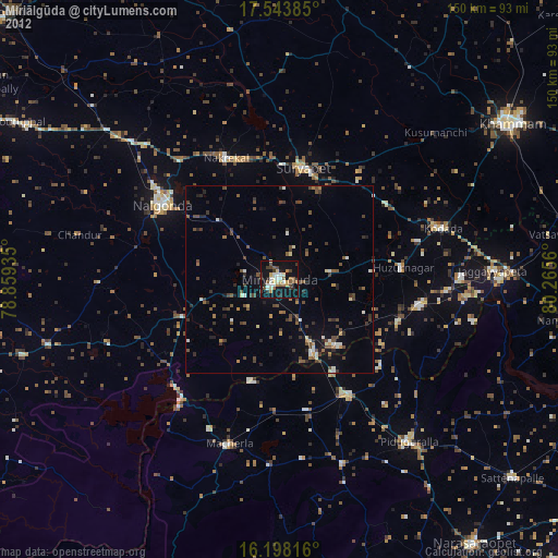
» Earth at Night: Flat Maps 2012, 2016