Vinukonda night lights from space
Night Light of Vinukonda (Andhra Pradesh) from space (India) Src. Average luminocity for 10x10km area is 21.2045% and for 50x50km: 3.7334%.
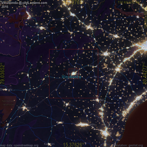
Analysis of Vinukonda night lights 2016
Square area 10x10 km:
 2.07%
2.07%90-99
4.96%80-89
2.07%70-79
1.65%60-69
2.07%50-59
3.72%40-49
2.89%30-39
2.48%20-29
1.24%10-19
15.08%0-9
61.78%Square area 50x50 km:
0.08%90-99
0.23%80-89
0.15%70-79
0.41%60-69
0.78%50-59
0.93%40-49
0.98%30-39
0.93%20-29
1.19%10-19
1.15%0-9
93.18%Clear (daylight) street map image can be seen on geolist.org.
Map coordinates:
16° 43' 39.5" North, 79° 2' 11.5" East
16° 3' 11.2" North, 79° 44' 22.7" East
15° 22' 34.5" North, 80° 26' 34" East
Some cities around Vinukonda sort by population:
• Narasaraopet
38.8 km =24.1 mi,  58°
58°
• Chilakalūrupet
45.8 km =28.5 mi,  84°
84°
• Sattenapalle
58.1 km =36.1 mi,  49°
49°
• Mācherla
57.2 km =35.5 mi,  325°
325°
• Darsi
32.2 km =20 mi,  191°
191°
• Chemmumiahpet
47.9 km =29.8 mi,  248°
248°
• Addanki
36.8 km =22.9 mi,  137°
137°
• Pavuluru
50.6 km =31.4 mi,  116°
116°
1253150 (p: 61,326)
Sources (retrieved 2019-11-25):
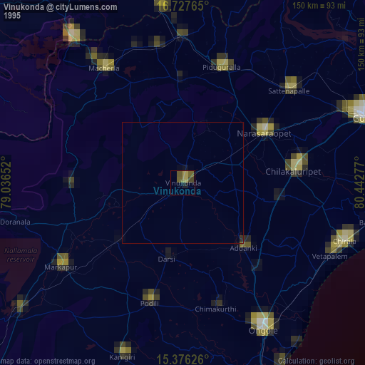
» NASA, Earths city lights 1995
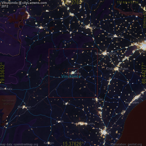
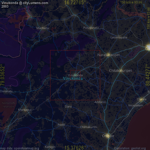
» NASA city lights 2003
» Earth at Night: Flat Maps 2012, 2016