Chemmumiahpet night lights from space
Night Light of Chemmumiahpet (Andhra Pradesh) from space (India) Src. Average luminocity for 10x10km area is 4.303% and for 50x50km: 2.3393%.
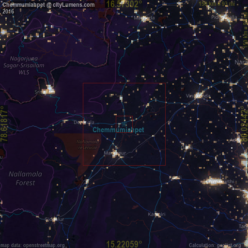
Analysis of Chemmumiahpet night lights 2016
Square area 10x10 km:
 0%
0%90-99
0%80-89
0%70-79
0.87%60-69
0.43%50-59
1.73%40-49
1.3%30-39
2.16%20-29
1.73%10-19
0.87%0-9
90.91%Square area 50x50 km:
0.04%90-99
0.3%80-89
0.15%70-79
0.25%60-69
0.28%50-59
0.57%40-49
0.59%30-39
0.74%20-29
0.64%10-19
0.61%0-9
95.84%Clear (daylight) street map image can be seen on geolist.org.
Map coordinates:
16° 34' 22.9" North, 78° 37' 5.4" East
15° 53' 52.6" North, 79° 19' 16.6" East
15° 13' 14.1" North, 80° 1' 27.9" East
Some cities around Chemmumiahpet sort by population:
• Mārkāpur
18.9 km =11.7 mi,  197°
197°
• Vinukonda
47.9 km =29.8 mi,  68°
68°
• Mācherla
65.5 km =40.7 mi,  10°
10°
• Darsi
40.9 km =25.4 mi,  110°
110°
• Addanki
70.4 km =43.7 mi,  97°
97°
• Kanigiri
58.2 km =36.2 mi,  160°
160°
• Srīsailain
52.2 km =32.4 mi,  291°
291°
• Cumbum
41.8 km =26 mi,  212°
212°
7302808 (p: 31,416)
Sources (retrieved 2019-11-25):
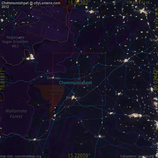
» Earth at Night: Flat Maps 2012, 2016