Kumbakonam night lights from space
Night Light of Kumbakonam (Tamil Nadu) from space (India) Src. Average luminocity for 10x10km area is 55.5498% and for 50x50km: 10.4248%.
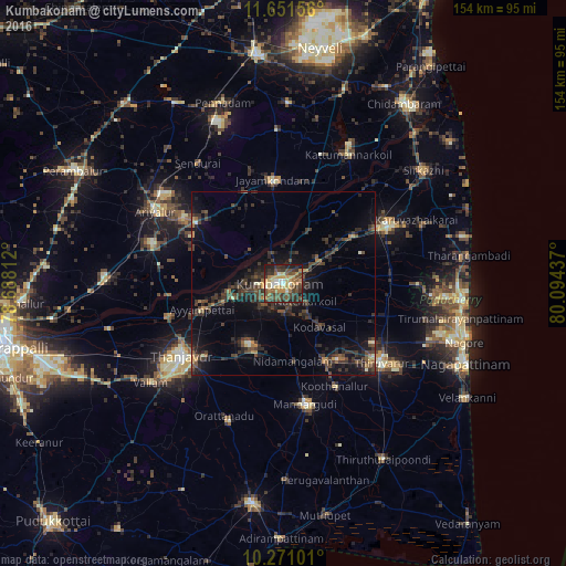
Analysis of Kumbakonam night lights 2016
Square area 10x10 km:
 3.9%
3.9%90-99
6.71%80-89
9.52%70-79
15.8%60-69
6.71%50-59
9.31%40-49
16.02%30-39
14.94%20-29
11.47%10-19
5.63%0-9
0%Square area 50x50 km:
0.18%90-99
0.63%80-89
0.62%70-79
1.31%60-69
0.95%50-59
1.35%40-49
3.42%30-39
4.29%20-29
5.14%10-19
7.72%0-9
74.38%Clear (daylight) street map image can be seen on geolist.org.
Map coordinates:
11° 39' 5.6" North, 78° 41' 17.2" East
10° 57' 43.5" North, 79° 23' 28.5" East
10° 16' 15.6" North, 80° 5' 39.7" East
Some cities around Kumbakonam sort by population:
• Papanasam
13.7 km =8.5 mi,  253°
253°
• Ammāpettai
20.2 km =12.6 mi,  202°
202°
• Thiruvidaimaruthur
7.8 km =4.8 mi,  58°
58°
• Valangaiman
8 km =5 mi,  178°
178°
• Aduthurai
11.4 km =7.1 mi, 58°
• Needamangalam
21.2 km =13.2 mi,  171°
171°
• Swāmimalai
6.8 km =4.2 mi,  265°
265°
• Koradāchcheri
24 km =14.9 mi,  152°
152°
1265683 (p: 139,264)
Sources (retrieved 2019-11-25):
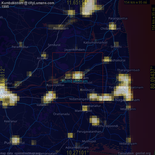
» NASA, Earths city lights 1995
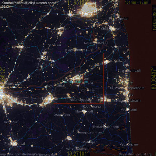
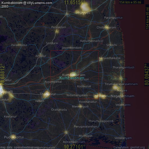
» NASA city lights 2003
» Earth at Night: Flat Maps 2012, 2016