Khopoli night lights from space
Night Light of Khopoli (Maharashtra) from space (India) Src. Average luminocity for 10x10km area is 56.0537% and for 50x50km: 18.7952%.
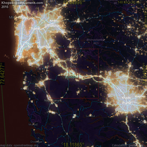
Analysis of Khopoli night lights 2016
Square area 10x10 km:
 1.86%
1.86%90-99
17.56%80-89
14.46%70-79
9.09%60-69
4.34%50-59
5.17%40-49
7.64%30-39
5.99%20-29
25.83%10-19
8.06%0-9
0%Square area 50x50 km:
0.51%90-99
3.06%80-89
3.87%70-79
2.25%60-69
2.3%50-59
2.67%40-49
3.4%30-39
3.5%20-29
7.15%10-19
14.04%0-9
57.24%Clear (daylight) street map image can be seen on geolist.org.
Map coordinates:
19° 26' 59.9" North, 72° 38' 34" East
18° 47' 8.2" North, 73° 20' 45.2" East
18° 7' 7.1" North, 74° 2' 56.5" East
Some cities around Khopoli sort by population:
• Panvel
33.5 km =20.8 mi,  312°
312°
• Lonavla
7.3 km =4.5 mi,  120°
120°
• Karjat
14.1 km =8.8 mi,  350°
350°
• Pen
26.8 km =16.7 mi,  258°
258°
• Neral
26.8 km =16.7 mi, 353°
• Wadgaon
31.3 km =19.4 mi,  99°
99°
• Kālundri
31.6 km =19.6 mi, 313°
• Mātherān
23.5 km =14.6 mi,  338°
338°
1266666 (p: 64,460)
Sources (retrieved 2019-11-25):
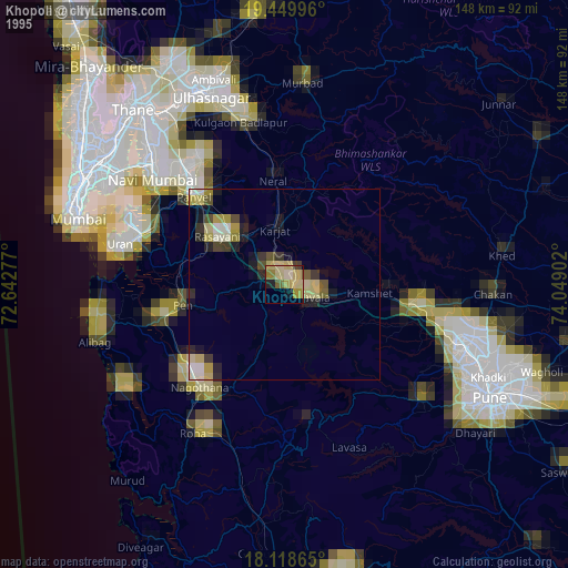
» NASA, Earths city lights 1995
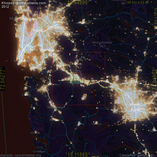
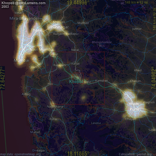
» NASA city lights 2003
» Earth at Night: Flat Maps 2012, 2016