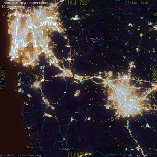
Lonavla night lights from space
Night Light of Lonavla (Maharashtra) from space (India) Src. Average luminocity for 10x10km area is 51.8967% and for 50x50km: 16.9332%.

Analysis of Lonavla night lights 2016
Square area 10x10 km:
 1.24%
1.24%90-99
18.8%80-89
9.5%70-79
6.61%60-69
4.34%50-59
6.61%40-49
9.3%30-39
6.82%20-29
17.77%10-19
19.01%0-9
0%Square area 50x50 km:
0.24%90-99
2.59%80-89
3.1%70-79
1.97%60-69
2.18%50-59
2.53%40-49
3.35%30-39
3.43%20-29
7.61%10-19
13.64%0-9
59.36%Clear (daylight) street map image can be seen on geolist.org.
Map coordinates:
19° 25' 2" North, 72° 42' 9.5" East
18° 45' 9.9" North, 73° 24' 20.7" East
18° 5' 8.3" North, 74° 6' 32" East
Some cities around Lonavla sort by population:
• Khopoli
7.3 km =4.5 mi,  300°
300°
• Talegaon Dābhāde
28.5 km =17.7 mi,  93°
93°
• Karjat
19.6 km =12.2 mi,  333°
333°
• Pen
32.7 km =20.3 mi,  266°
266°
• Neral
31.7 km =19.7 mi,  342°
342°
• Wadgaon
24.7 km =15.3 mi, 93°
• Nāgothana
36.9 km =22.9 mi,  230°
230°
• Mātherān
29.5 km =18.3 mi, 329°
1264793 (p: 58,562)
Sources (retrieved 2019-11-25):
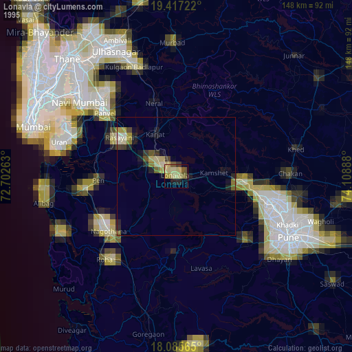
» NASA, Earths city lights 1995
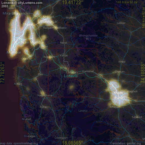
» NASA city lights 2003
» Earth at Night: Flat Maps 2012, 2016