Khāga night lights from space
Night Light of Khāga (Uttar Pradesh) from space (India) Src. Average luminocity for 10x10km area is 16.6098% and for 50x50km: 9.5207%.
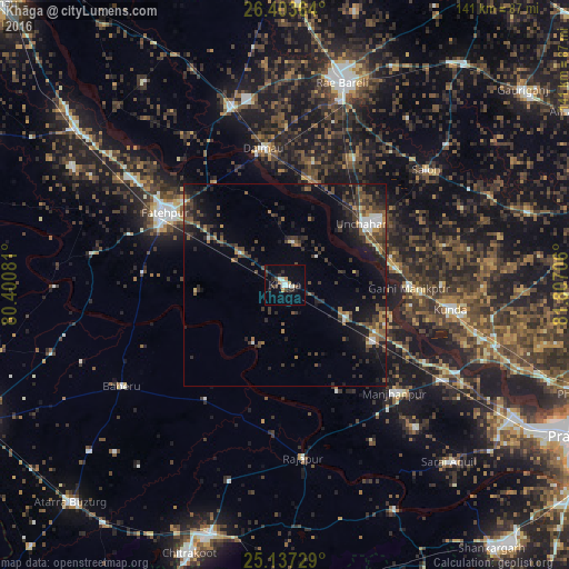
Analysis of Khāga night lights 2016
Square area 10x10 km:
 2.08%
2.08%90-99
3.79%80-89
0.19%70-79
1.89%60-69
1.14%50-59
0.76%40-49
2.08%30-39
2.65%20-29
5.87%10-19
6.44%0-9
73.11%Square area 50x50 km:
0.6%90-99
0.96%80-89
0.39%70-79
0.69%60-69
1.23%50-59
1.84%40-49
2.48%30-39
2.99%20-29
3.22%10-19
7.7%0-9
77.88%Clear (daylight) street map image can be seen on geolist.org.
Map coordinates:
26° 24' 13.1" North, 80° 24' 2.9" East
25° 46' 19.7" North, 81° 6' 14.1" East
25° 8' 14.2" North, 81° 48' 25.4" East
Some cities around Khāga sort by population:
• Fatehpur
33.9 km =21.1 mi,  300°
300°
• Kunda
41.5 km =25.8 mi,  98°
98°
• Manjhanpur
38.3 km =23.8 mi,  134°
134°
• Salon
45.2 km =28.1 mi,  50°
50°
• Rājāpur
43.1 km =26.8 mi,  173°
173°
• Sirāthu
25.9 km =16.1 mi,  123°
123°
• Dalmau
33.4 km =20.8 mi,  347°
347°
• Kishanpur
16.6 km =10.3 mi,  209°
209°
1267190 (p: 13,338)
Sources (retrieved 2019-11-25):
» Earth at Night: Flat Maps 2012, 2016