Bahādurganj night lights from space
Night Light of Bahādurganj (Bihar) from space (India) Src. Average luminocity for 10x10km area is 6.3869% and for 50x50km: 7.0231%.
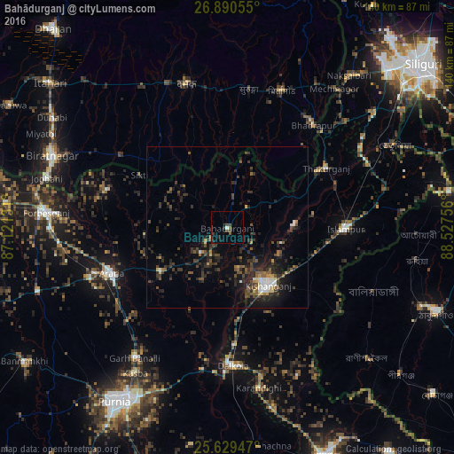
Analysis of Bahādurganj night lights 2016
Square area 10x10 km:
 0.6%
0.6%90-99
0.2%80-89
0%70-79
0.4%60-69
0.79%50-59
0.79%40-49
3.57%30-39
0.99%20-29
1.79%10-19
2.38%0-9
88.49%Square area 50x50 km:
0.51%90-99
0.63%80-89
0.35%70-79
0.49%60-69
0.48%50-59
1.29%40-49
1.91%30-39
2.03%20-29
3.93%10-19
4.99%0-9
83.37%Clear (daylight) street map image can be seen on geolist.org.
Map coordinates:
26° 53' 26" North, 87° 7' 16.7" East
26° 15' 42.2" North, 87° 49' 27.9" East
25° 37' 46.1" North, 88° 31' 39.2" East
Some cities around Bahādurganj sort by population:
• Kishanganj
22 km =13.7 mi,  143°
143°
• Arāria
33.5 km =20.8 mi,  248°
248°
• Islāmpur
36.4 km =22.6 mi,  89°
89°
• Shahbazpur
53.6 km =33.3 mi,  275°
275°
• Kasba
53.4 km =33.2 mi,  212°
212°
• Bhadrapur, NP
41.3 km =25.7 mi,  40°
40°
• Thākurganj
35.7 km =22.2 mi,  58°
58°
• Dalkola
42.9 km =26.7 mi,  177°
177°
1277836 (p: 31,405)
Sources (retrieved 2019-11-25):
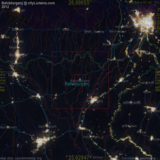
» Earth at Night: Flat Maps 2012, 2016