Deoli night lights from space
Night Light of Deoli (Delhi) from space (India) Src. Average luminocity for 10x10km area is 96.7579% and for 50x50km: 86.7224%.
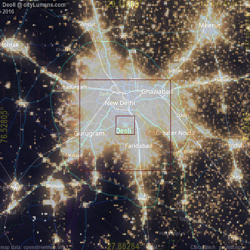
Analysis of Deoli night lights 2016
Square area 10x10 km:
 46.43%
90-99
41.07%80-89
12.5%70-79
0%60-69
0%50-59
0%40-49
0%30-39
0%20-29
0%10-19
0%0-9
0%Square area 50x50 km:
42.89%90-99
24.44%80-89
12.01%70-79
3.77%60-69
3.59%50-59
3.06%40-49
3.07%30-39
2.94%20-29
2.62%10-19
1.52%0-9
0.09%Clear (daylight) street map image can be seen on geolist.org.
Map coordinates:
29° 7' 7.1" North, 76° 31' 41" East
28° 30' 9.1" North, 77° 13' 52.2" East
27° 52' 58.2" North, 77° 56' 3.5" East
Some cities around Deoli sort by population:
• Delhi
16.6 km =10.3 mi,  0°
0°
• Faridabad
12.9 km =8 mi,  141°
141°
• Ghāziābād
27.2 km =16.9 mi,  48°
48°
• Karol Bāgh
17 km =10.6 mi,  346°
346°
• New Delhi
14.8 km =9.2 mi,  357°
357°
• Noida
12.9 km =8 mi, 48°
• Gurgaon
20.6 km =12.8 mi,  256°
256°
• Nāngloi Jāt
25.3 km =15.7 mi,  321°
321°
10263232 (p: 120,000)
Sources (retrieved 2019-11-25):
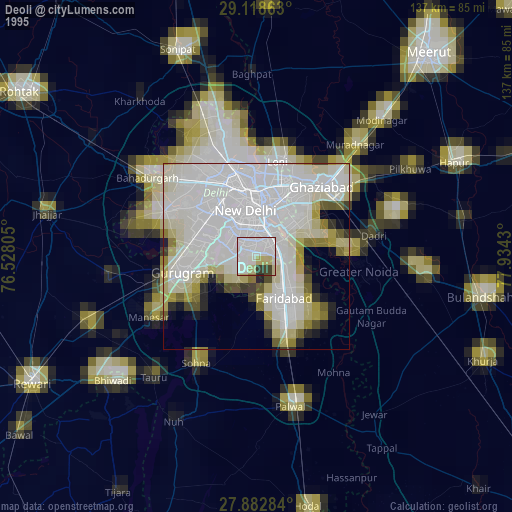
» NASA, Earths city lights 1995
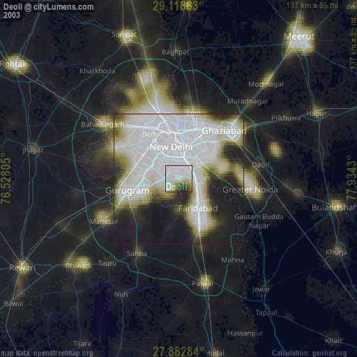
» NASA city lights 2003
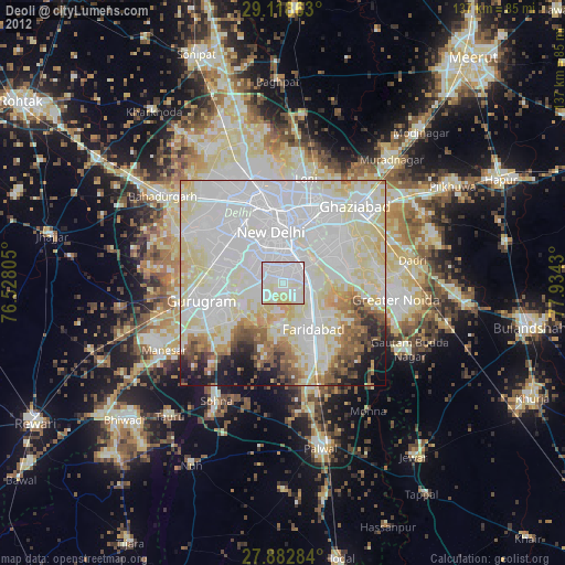
» Earth at Night: Flat Maps 2012, 2016