Etāwah night lights from space
Night Light of Etāwah (Uttar Pradesh) from space (India) Src. Average luminocity for 10x10km area is 83.2044% and for 50x50km: 39.2641%.
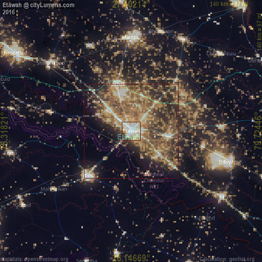
Analysis of Etāwah night lights 2016
Square area 10x10 km:
 19.64%
90-99
31.15%80-89
19.84%70-79
7.74%60-69
6.75%50-59
4.17%40-49
4.56%30-39
3.97%20-29
2.18%10-19
0%0-9
0%Square area 50x50 km:
2.32%90-99
4.67%80-89
6.02%70-79
6.24%60-69
9.03%50-59
10.77%40-49
9.67%30-39
7.68%20-29
9.48%10-19
7.96%0-9
26.16%Clear (daylight) street map image can be seen on geolist.org.
Map coordinates:
27° 24' 7.7" North, 78° 19' 5.6" East
26° 46' 34.1" North, 79° 1' 16.8" East
26° 8' 48.1" North, 79° 43' 28.1" East
Some cities around Etāwah sort by population:
• Bhind
32.9 km =20.4 mi,  224°
224°
• Bharthana
20.1 km =12.5 mi,  97°
97°
• Jaswantnagar
16.7 km =10.4 mi,  315°
315°
• Karhal
26.3 km =16.3 mi,  341°
341°
• Bakewar
19.9 km =12.4 mi,  129°
129°
• Lakhnā
19 km =11.8 mi,  138°
138°
• Sarai Ekdil
8 km =5 mi,  116°
116°
• Umri
30.7 km =19.1 mi,  195°
195°
1271987 (p: 257,448)
Sources (retrieved 2019-11-25):
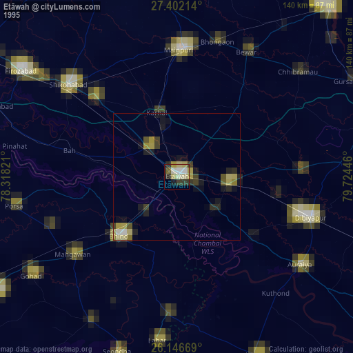
» NASA, Earths city lights 1995
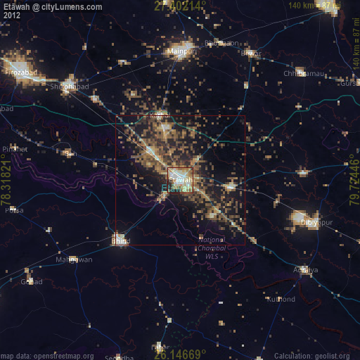
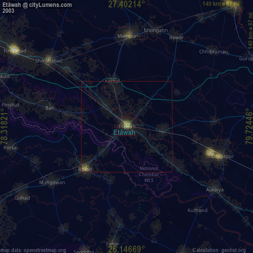
» NASA city lights 2003
» Earth at Night: Flat Maps 2012, 2016