Khowai night lights from space
Night Light of Khowai (Tripura) from space (India) Src. Average luminocity for 10x10km area is 30.3504% and for 50x50km: 11.8184%.
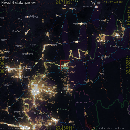
Analysis of Khowai night lights 2016
Square area 10x10 km:
 0%
0%90-99
3.03%80-89
3.41%70-79
1.52%60-69
4.36%50-59
5.3%40-49
14.77%30-39
10.42%20-29
10.61%10-19
30.68%0-9
15.91%Square area 50x50 km:
0.38%90-99
0.71%80-89
0.6%70-79
0.9%60-69
1.48%50-59
2.31%40-49
4.55%30-39
3.31%20-29
4.49%10-19
10.44%0-9
70.84%Clear (daylight) street map image can be seen on geolist.org.
Map coordinates:
24° 43' 11.9" North, 90° 53' 47.8" East
24° 4' 46.7" North, 91° 35' 59" East
23° 26' 10" North, 92° 18' 10.3" East
Some cities around Khowai sort by population:
• Agartala
42.3 km =26.3 mi,  230°
230°
• Habiganj, BD
38.4 km =23.9 mi,  330°
330°
• Maulavi Bāzār, BD
48.7 km =30.3 mi,  20°
20°
• Baniachang, BD
54.6 km =33.9 mi, 333°
• Kailāshahar
49.7 km =30.9 mi,  55°
55°
• Rānīr Bāzār
36.1 km =22.4 mi,  221°
221°
• Āmbāsa
30.4 km =18.9 mi,  121°
121°
• Kamalpur
27.1 km =16.8 mi, 61°
1266649 (p: 20,046)
Sources (retrieved 2019-11-25):
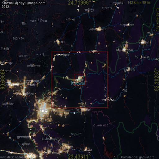
» Earth at Night: Flat Maps 2012, 2016