Habiganj night lights from space
Night Light of Habiganj (Sylhet) from space (Bangladesh) Src. Average luminocity for 10x10km area is 14.246% and for 50x50km: 3.6209%.
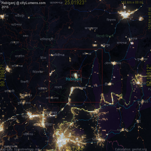
Analysis of Habiganj night lights 2016
Square area 10x10 km:
 0.2%
0.2%90-99
4.17%80-89
0.99%70-79
0.99%60-69
2.18%50-59
2.18%40-49
4.37%30-39
0.79%20-29
2.18%10-19
0.4%0-9
81.55%Square area 50x50 km:
0.22%90-99
0.47%80-89
0.31%70-79
0.46%60-69
0.36%50-59
0.46%40-49
0.89%30-39
0.85%20-29
0.73%10-19
1.98%0-9
93.27%Clear (daylight) street map image can be seen on geolist.org.
Map coordinates:
25° 1' 9.2" North, 90° 42' 35.5" East
24° 22' 49.6" North, 91° 24' 46.8" East
23° 44' 18.2" North, 92° 6' 58" East
Some cities around Habiganj sort by population:
• Bhairab Bāzār
57.4 km =35.7 mi,  230°
230°
• Maulavi Bāzār
38.2 km =23.7 mi,  71°
71°
• Baniachang
16.3 km =10.1 mi,  340°
340°
• Bājitpur
50.3 km =31.3 mi,  248°
248°
• Kailāshahar, IN
60.1 km =37.3 mi,  95°
95°
• Khowai, IN
38.4 km =23.9 mi,  150°
150°
• Rānīr Bāzār, IN
60.9 km =37.8 mi,  184°
184°
• Kamalpur, IN
47.4 km =29.5 mi,  115°
115°
1185209 (p: 88,760)
Sources (retrieved 2019-11-25):
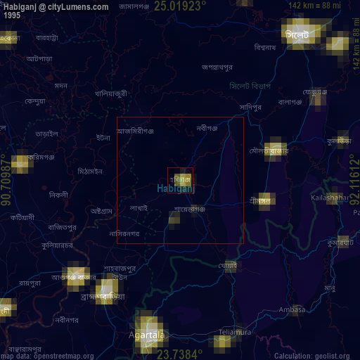
» NASA, Earths city lights 1995
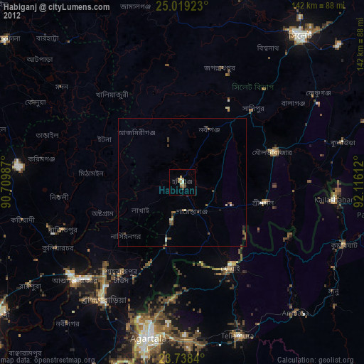
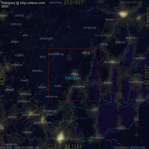
» NASA city lights 2003
» Earth at Night: Flat Maps 2012, 2016