Bāgepalli night lights from space
Night Light of Bāgepalli (Karnataka) from space (India) Src. Average luminocity for 10x10km area is 26.2252% and for 50x50km: 4.3031%.
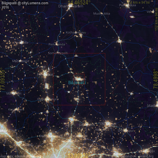
Analysis of Bāgepalli night lights 2016
Square area 10x10 km:
 1.03%
1.03%90-99
5.79%80-89
2.27%70-79
3.1%60-69
3.31%50-59
4.34%40-49
6.82%30-39
4.55%20-29
3.93%10-19
25%0-9
39.88%Square area 50x50 km:
0.04%90-99
0.45%80-89
0.44%70-79
0.19%60-69
0.56%50-59
0.86%40-49
1.06%30-39
1.29%20-29
1.62%10-19
2.02%0-9
91.48%Clear (daylight) street map image can be seen on geolist.org.
Map coordinates:
14° 27' 54.9" North, 77° 5' 36.8" East
13° 47' 0.2" North, 77° 47' 48" East
13° 5' 58.3" North, 78° 29' 59.3" East
Some cities around Bāgepalli sort by population:
• Hindupur
33.3 km =20.7 mi,  278°
278°
• Chik Ballāpur
39.4 km =24.5 mi,  190°
190°
• Sidlaghatta
44.5 km =27.7 mi,  170°
170°
• Goribidnūr
35.8 km =22.2 mi,  237°
237°
• Gorantla
22.5 km =14 mi,  353°
353°
• Penukonda
39.8 km =24.7 mi,  326°
326°
• Gudibanda
16 km =9.9 mi,  218°
218°
• Puttaparthi
42.5 km =26.4 mi,  2°
2°
1277909 (p: 24,031)
Sources (retrieved 2019-11-25):
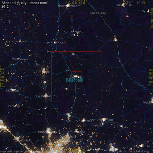
» Earth at Night: Flat Maps 2012, 2016