Rāyachoti night lights from space
Night Light of Rāyachoti (Andhra Pradesh) from space (India) Src. Average luminocity for 10x10km area is 12.0476% and for 50x50km: 0.628%.
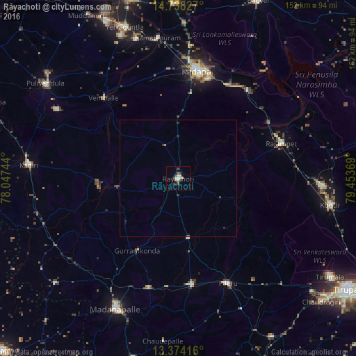

Analysis of Rāyachoti night lights 2016
Square area 10x10 km:
 0%
0%90-99
1.95%80-89
3.25%70-79
1.3%60-69
0.43%50-59
2.6%40-49
2.81%30-39
2.16%20-29
1.08%10-19
1.3%0-9
83.12%Square area 50x50 km:
0%90-99
0.08%80-89
0.13%70-79
0.08%60-69
0.03%50-59
0.1%40-49
0.14%30-39
0.18%20-29
0.16%10-19
0.12%0-9
98.98%Clear (daylight) street map image can be seen on geolist.org.
Map coordinates:
14° 44' 17.8" North, 78° 2' 50.8" East
14° 3' 26" North, 78° 45' 2" East
13° 22' 27" North, 79° 27' 13.3" East
Some cities around Rāyachoti sort by population:
• Cuddapah
47.7 km =29.6 mi,  9°
9°
• Madanapalle
62.4 km =38.8 mi,  205°
205°
• Kadiri
64 km =39.8 mi,  275°
275°
• Chinnachowk
47.4 km =29.5 mi, 11°
• Rāzampeta
46.6 km =29 mi,  70°
70°
• Erraguntla
68.5 km =42.6 mi,  340°
340°
• Kāmalāpuram
60.8 km =37.8 mi,  351°
351°
• Nāgireddipalli
44.6 km =27.7 mi,  57°
57°
1258291 (p: 81,433)
Sources (retrieved 2019-11-25):
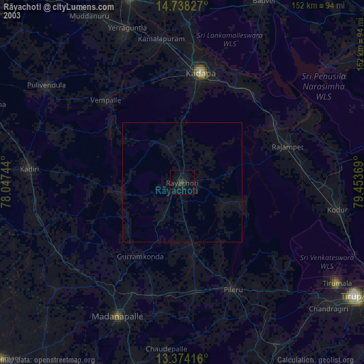
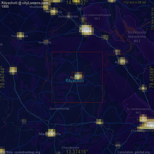
» NASA, Earths city lights 1995
» NASA city lights 2003
» Earth at Night: Flat Maps 2012, 2016