Jhā-Jhā night lights from space
Night Light of Jhā-Jhā (Bihar) from space (India) Src. Average luminocity for 10x10km area is 13.9792% and for 50x50km: 4.0104%.
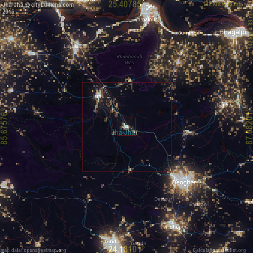
Analysis of Jhā-Jhā night lights 2016
Square area 10x10 km:
 1.7%
1.7%90-99
3.6%80-89
0%70-79
0.38%60-69
1.89%50-59
0%40-49
3.03%30-39
4.55%20-29
3.22%10-19
3.41%0-9
78.22%Square area 50x50 km:
0.25%90-99
0.37%80-89
0.09%70-79
0.34%60-69
0.34%50-59
0.44%40-49
1.28%30-39
1.54%20-29
1.47%10-19
2.69%0-9
91.2%Clear (daylight) street map image can be seen on geolist.org.
Map coordinates:
25° 24' 28.3" North, 85° 40' 32.7" East
24° 46' 15.9" North, 86° 22' 44" East
24° 7' 51.6" North, 87° 4' 55.2" East
Some cities around Jhā-Jhā sort by population:
• Luckeesarai
53.4 km =33.2 mi,  327°
327°
• Jamūī
23.2 km =14.4 mi,  318°
318°
• Bānka
56.2 km =34.9 mi,  77°
77°
• Kharagpur
43.2 km =26.8 mi,  24°
24°
• Amarpur
60.7 km =37.7 mi,  60°
60°
• Jasidih
39.3 km =24.4 mi,  136°
136°
• Dhanwār
56.7 km =35.2 mi,  225°
225°
• Asarganj
52.3 km =32.5 mi,  36°
36°
1269046 (p: 38,624)
Sources (retrieved 2019-11-25):
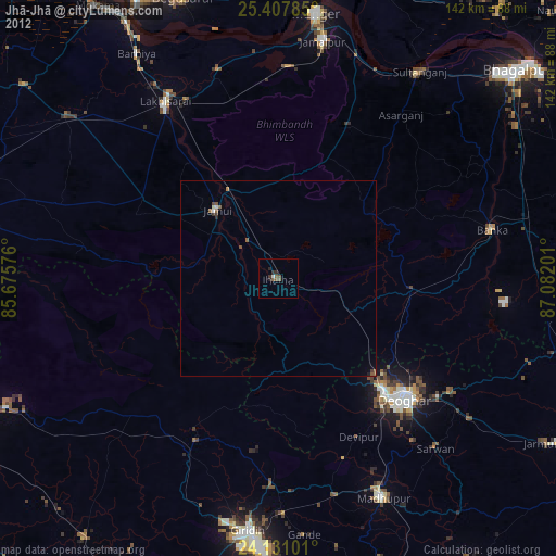
» Earth at Night: Flat Maps 2012, 2016