Bānka night lights from space
Night Light of Bānka (Bihar) from space (India) Src. Average luminocity for 10x10km area is 40.6667% and for 50x50km: 13.2245%.
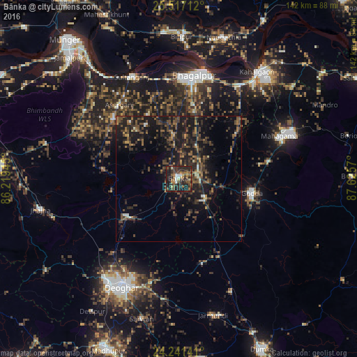
Analysis of Bānka night lights 2016
Square area 10x10 km:
 3.03%
3.03%90-99
2.65%80-89
3.03%70-79
4.36%60-69
7.01%50-59
11.17%40-49
10.04%30-39
15.34%20-29
24.24%10-19
18.94%0-9
0.19%Square area 50x50 km:
0.32%90-99
0.63%80-89
0.6%70-79
1.12%60-69
1.98%50-59
2.81%40-49
3.92%30-39
4.65%20-29
6.68%10-19
14.41%0-9
62.89%Clear (daylight) street map image can be seen on geolist.org.
Map coordinates:
25° 31' 1.6" North, 86° 13' 10" East
24° 52' 51.3" North, 86° 55' 21.3" East
24° 14' 29.1" North, 87° 37' 32.5" East
Some cities around Bānka sort by population:
• Bhāgalpur
40.7 km =25.3 mi,  6°
6°
• Godda
29.9 km =18.6 mi,  101°
101°
• Jhā-Jhā
56.2 km =34.9 mi,  257°
257°
• Kharagpur
45.8 km =28.5 mi,  306°
306°
• Colgong
52.8 km =32.8 mi,  36°
36°
• Amarpur
17.8 km =11.1 mi,  353°
353°
• Jasidih
49.5 km =30.8 mi,  214°
214°
• Asarganj
38.3 km =23.8 mi,  321°
321°
1277289 (p: 38,939)
Sources (retrieved 2019-11-25):
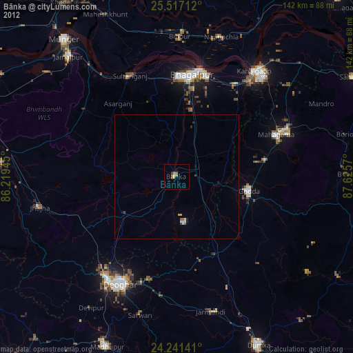
» Earth at Night: Flat Maps 2012, 2016