Faizpur night lights from space
Night Light of Faizpur (Maharashtra) from space (India) Src. Average luminocity for 10x10km area is 23.123% and for 50x50km: 11.0009%.
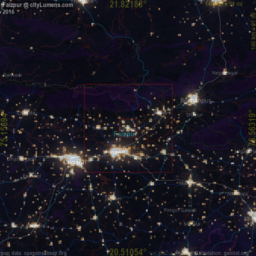
Analysis of Faizpur night lights 2016
Square area 10x10 km:
 0.2%
0.2%90-99
2.98%80-89
2.38%70-79
1.59%60-69
6.55%50-59
6.35%40-49
1.79%30-39
3.77%20-29
3.77%10-19
25.99%0-9
44.64%Square area 50x50 km:
0.52%90-99
1.48%80-89
0.92%70-79
1.25%60-69
2.02%50-59
1.81%40-49
1.57%30-39
2.21%20-29
2.74%10-19
8.64%0-9
76.85%Clear (daylight) street map image can be seen on geolist.org.
Map coordinates:
21° 49' 18.8" North, 75° 9' 25" East
21° 10' 3.6" North, 75° 51' 36.2" East
20° 30' 37.9" North, 76° 33' 47.5" East
Some cities around Faizpur sort by population:
• Jalgaon
35.6 km =22.1 mi,  239°
239°
• Burhānpur
41.4 km =25.7 mi,  67°
67°
• Bhusāval
15.8 km =9.8 mi,  209°
209°
• Varangaon
17.5 km =10.9 mi,  162°
162°
• Yāval
16.8 km =10.4 mi,  270°
270°
• Rāver
20.2 km =12.6 mi,  63°
63°
• Sāvda
3.6 km =2.2 mi,  122°
122°
• Shāhpur
38.7 km =24 mi,  78°
78°
1271975 (p: 24,534)
Sources (retrieved 2019-11-25):
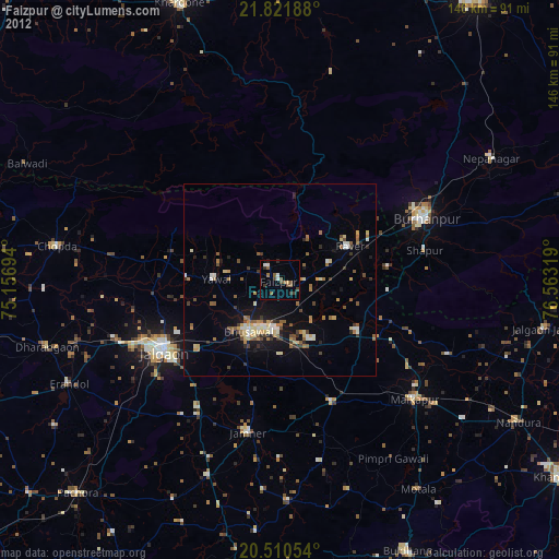
» Earth at Night: Flat Maps 2012, 2016