Haliyal night lights from space
Night Light of Haliyal (Karnataka) from space (India) Src. Average luminocity for 10x10km area is 9.8593% and for 50x50km: 5.1908%.
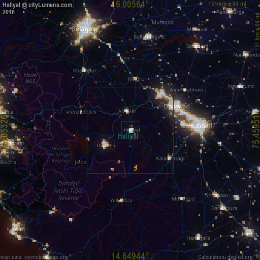
Analysis of Haliyal night lights 2016
Square area 10x10 km:
 1.08%
1.08%90-99
3.25%80-89
1.73%70-79
0%60-69
0%50-59
0.87%40-49
0.22%30-39
2.81%20-29
2.38%10-19
0.65%0-9
87.01%Square area 50x50 km:
0.62%90-99
1.22%80-89
0.41%70-79
0.53%60-69
0.58%50-59
0.64%40-49
0.85%30-39
0.53%20-29
1.66%10-19
2.68%0-9
90.28%Clear (daylight) street map image can be seen on geolist.org.
Map coordinates:
16° 0' 20.3" North, 74° 3' 11.7" East
15° 19' 43.1" North, 74° 45' 23" East
14° 38' 58" North, 75° 27' 34.2" East
Some cities around Haliyal sort by population:
• Hubli
40.5 km =25.2 mi,  86°
86°
• Dandeli
16.5 km =10.3 mi,  245°
245°
• Yellāpur
40.9 km =25.4 mi,  187°
187°
• Khānāpur
43.6 km =27.1 mi,  322°
322°
• Mundgod
49.8 km =30.9 mi,  142°
142°
• Alnāvar
11.1 km =6.9 mi,  351°
351°
• Kalghatgi
28.1 km =17.5 mi,  125°
125°
• Londa
29.8 km =18.5 mi,  301°
301°
1270482 (p: 21,625)
Sources (retrieved 2019-11-25):
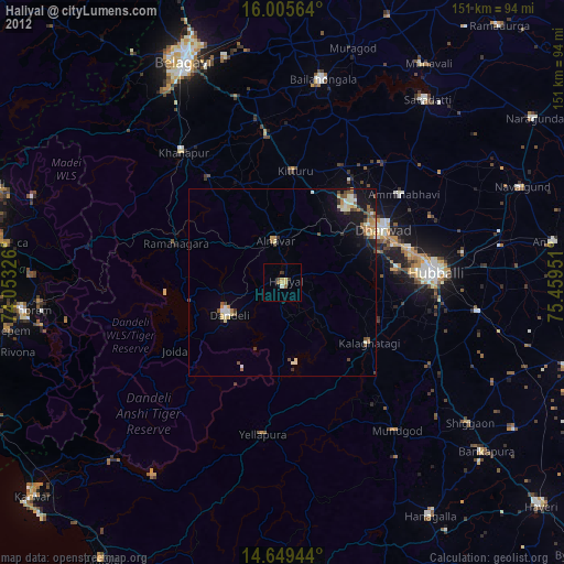
» Earth at Night: Flat Maps 2012, 2016