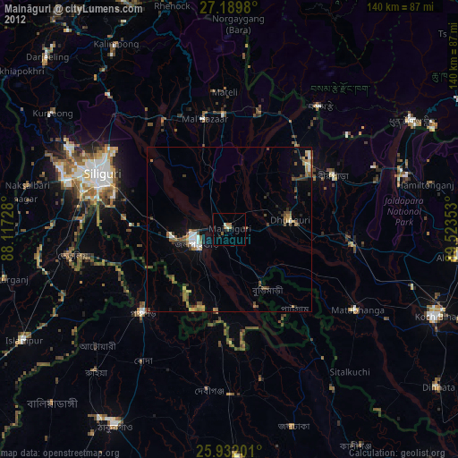
Maināguri night lights from space
Night Light of Maināguri (West Bengal) from space (India) Src. Average luminocity for 10x10km area is 20.2595% and for 50x50km: 10.4413%.
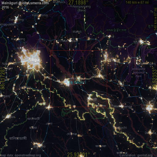
Analysis of Maināguri night lights 2016
Square area 10x10 km:
 1.7%
1.7%90-99
2.27%80-89
1.33%70-79
0.76%60-69
2.46%50-59
2.84%40-49
4.73%30-39
8.71%20-29
4.55%10-19
19.13%0-9
51.52%Square area 50x50 km:
0.96%90-99
1.2%80-89
0.79%70-79
0.82%60-69
1.3%50-59
1.57%40-49
2.23%30-39
2.27%20-29
2.85%10-19
11.49%0-9
74.53%Clear (daylight) street map image can be seen on geolist.org.
Map coordinates:
27° 11' 23.3" North, 88° 7' 2.2" East
26° 33' 45.5" North, 88° 49' 13.4" East
25° 55' 55.2" North, 89° 31' 24.7" East
Some cities around Maināguri sort by population:
• Jalpāiguri
10.1 km =6.3 mi,  239°
239°
• Goyerkāta
25.5 km =15.8 mi,  53°
53°
• Panchagarh, BD
36.5 km =22.7 mi,  225°
225°
• Dhupgāri
18.8 km =11.7 mi,  81°
81°
• Birpara
35.9 km =22.3 mi,  64°
64°
• Fālākāta
38.5 km =23.9 mi,  97°
97°
• Haldībāri
25.2 km =15.7 mi,  188°
188°
• Odlābāri
35.9 km =22.3 mi,  328°
328°
1264301 (p: 29,459)
Sources (retrieved 2019-11-25):
» Earth at Night: Flat Maps 2012, 2016