Bālāghāt night lights from space
Night Light of Bālāghāt (Madhya Pradesh) from space (India) Src. Average luminocity for 10x10km area is 42.7282% and for 50x50km: 3.7427%.
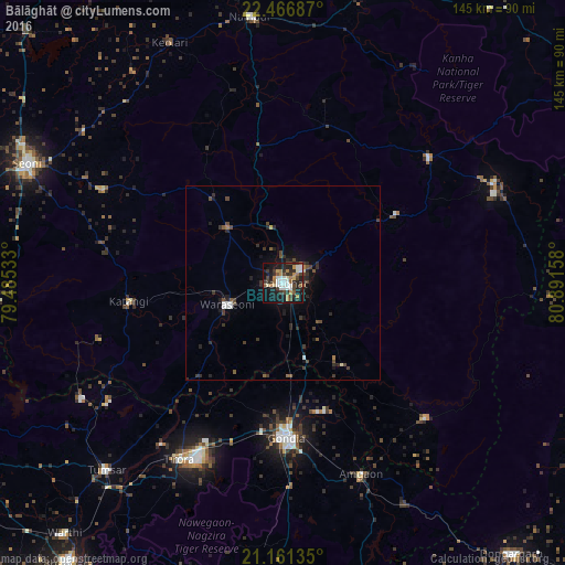
Analysis of Bālāghāt night lights 2016
Square area 10x10 km:
 7.54%
7.54%90-99
8.73%80-89
2.38%70-79
6.35%60-69
5.95%50-59
4.37%40-49
6.35%30-39
9.33%20-29
12.3%10-19
30.16%0-9
6.55%Square area 50x50 km:
0.42%90-99
0.47%80-89
0.19%70-79
0.26%60-69
0.34%50-59
0.61%40-49
0.8%30-39
1.12%20-29
1.45%10-19
2.68%0-9
91.66%Clear (daylight) street map image can be seen on geolist.org.
Map coordinates:
22° 28' 0.7" North, 79° 29' 7.2" East
21° 48' 56.2" North, 80° 11' 18.4" East
21° 9' 40.9" North, 80° 53' 29.7" East
Some cities around Bālāghāt sort by population:
• Gondiā
39.5 km =24.5 mi,  179°
179°
• Wārāseonī
16.2 km =10.1 mi,  248°
248°
• Baihar
49 km =30.4 mi,  49°
49°
• Katangi
39.8 km =24.7 mi,  263°
263°
• Barghāt
52.7 km =32.7 mi,  296°
296°
• Tirodi
50.6 km =31.4 mi, 253°
• Ukwā
33.5 km =20.8 mi,  58°
58°
• Hīrāpur Hamesha
50.7 km =31.5 mi,  235°
235°
1277661 (p: 80,360)
Sources (retrieved 2019-11-25):
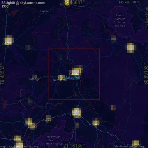
» NASA, Earths city lights 1995
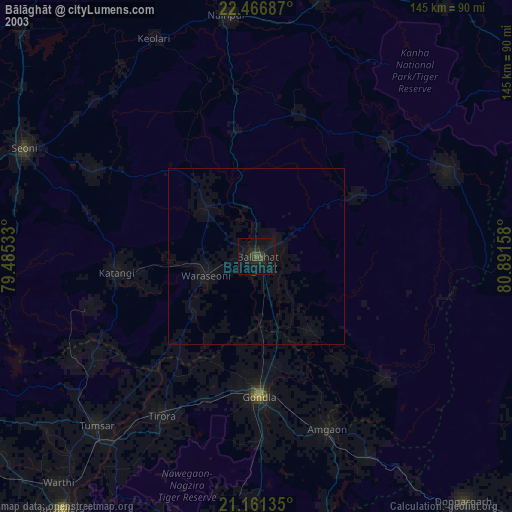
» NASA city lights 2003
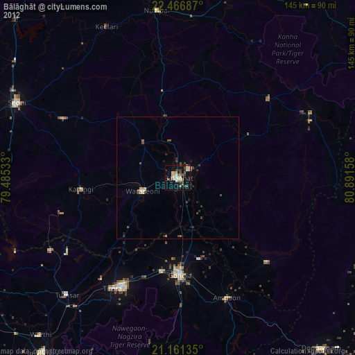
» Earth at Night: Flat Maps 2012, 2016