Godda night lights from space
Night Light of Godda (Jharkhand) from space (India) Src. Average luminocity for 10x10km area is 27.3693% and for 50x50km: 8.2894%.
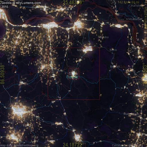
Analysis of Godda night lights 2016
Square area 10x10 km:
 4.55%
4.55%90-99
4.55%80-89
1.89%70-79
1.14%60-69
2.08%50-59
5.87%40-49
4.17%30-39
6.25%20-29
8.71%10-19
22.54%0-9
38.26%Square area 50x50 km:
0.85%90-99
1.02%80-89
0.46%70-79
0.59%60-69
0.79%50-59
1.47%40-49
1.58%30-39
2.61%20-29
3.41%10-19
6.88%0-9
80.32%Clear (daylight) street map image can be seen on geolist.org.
Map coordinates:
25° 27' 48.6" North, 86° 30' 33.8" East
24° 49' 37.2" North, 87° 12' 45" East
24° 11' 14" North, 87° 54' 56.3" East
Some cities around Godda sort by population:
• Bhāgalpur
52.4 km =32.6 mi,  332°
332°
• Sāhibganj
62.9 km =39.1 mi,  42°
42°
• Dumka
62.3 km =38.7 mi,  176°
176°
• Naugachhia
63.4 km =39.4 mi,  349°
349°
• Bānka
29.9 km =18.6 mi,  281°
281°
• Colgong
48.6 km =30.2 mi,  2°
2°
• Amarpur
39.2 km =24.4 mi,  307°
307°
• Asarganj
64.1 km =39.8 mi,  304°
304°
1271113 (p: 43,658)
Sources (retrieved 2019-11-25):
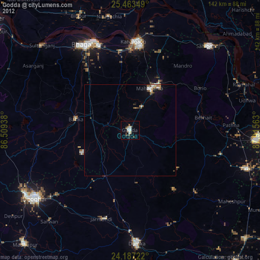
» Earth at Night: Flat Maps 2012, 2016